Who the city directories list at each door of Yew Street. 13 still have their pre-1946 buildings. Its other 30 blocks are read from the 1940 directory alone.
Start with 2339 Yew Street: an ordinary Kitsilano house with a new household every decade.
Yew Street through time
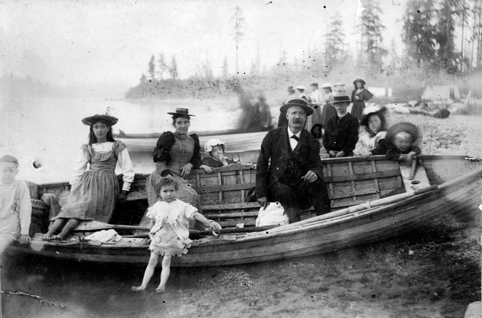
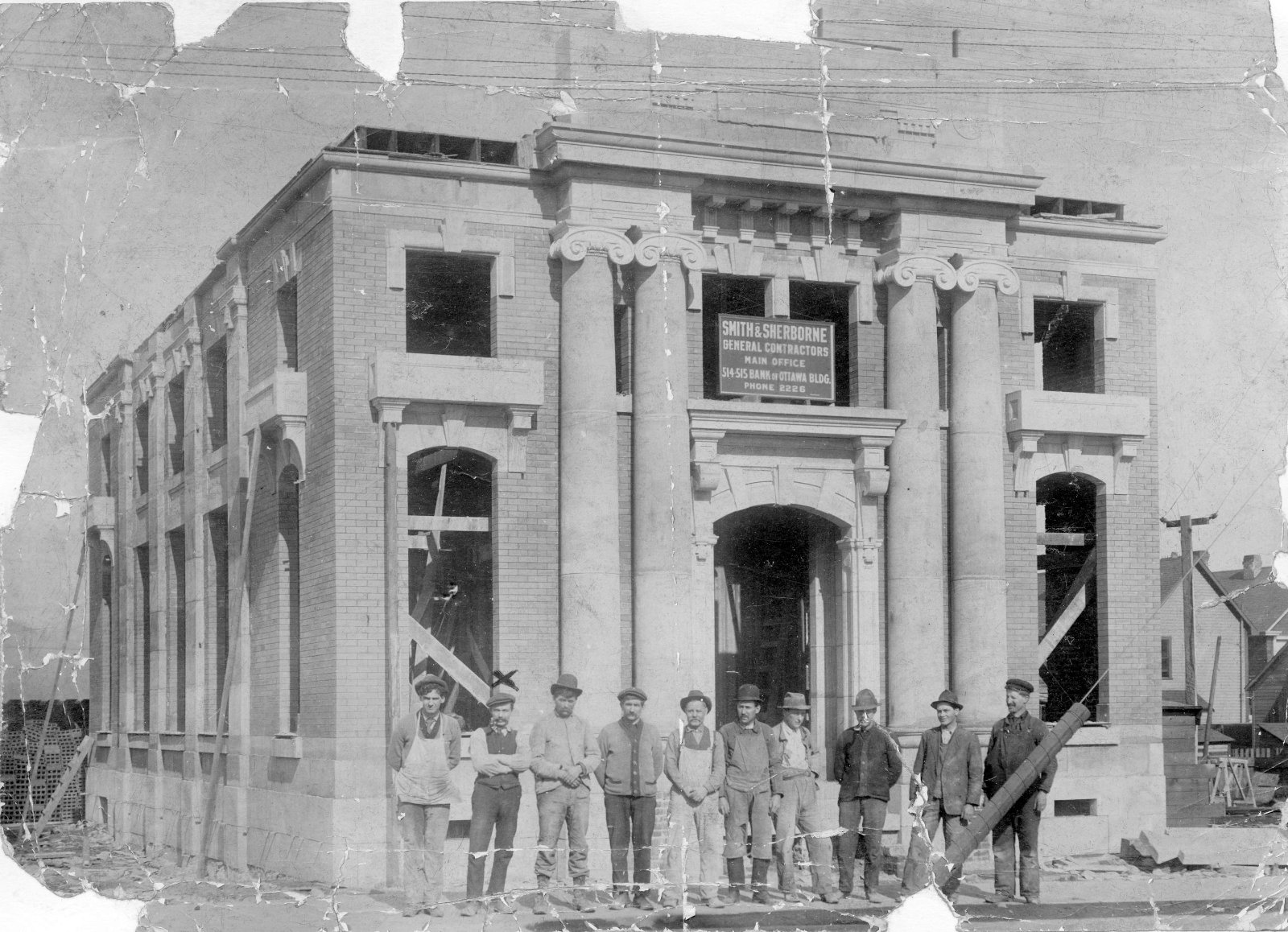
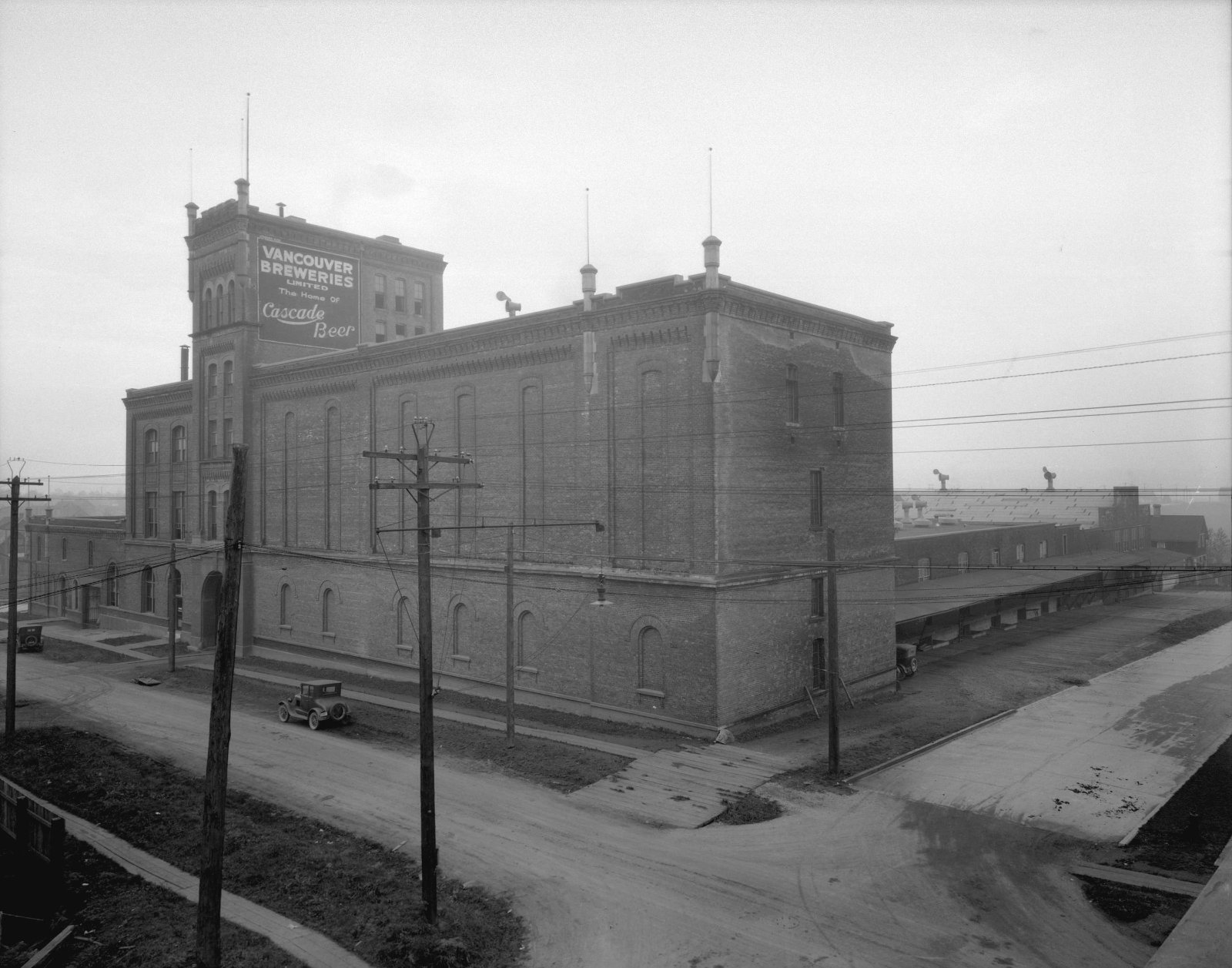
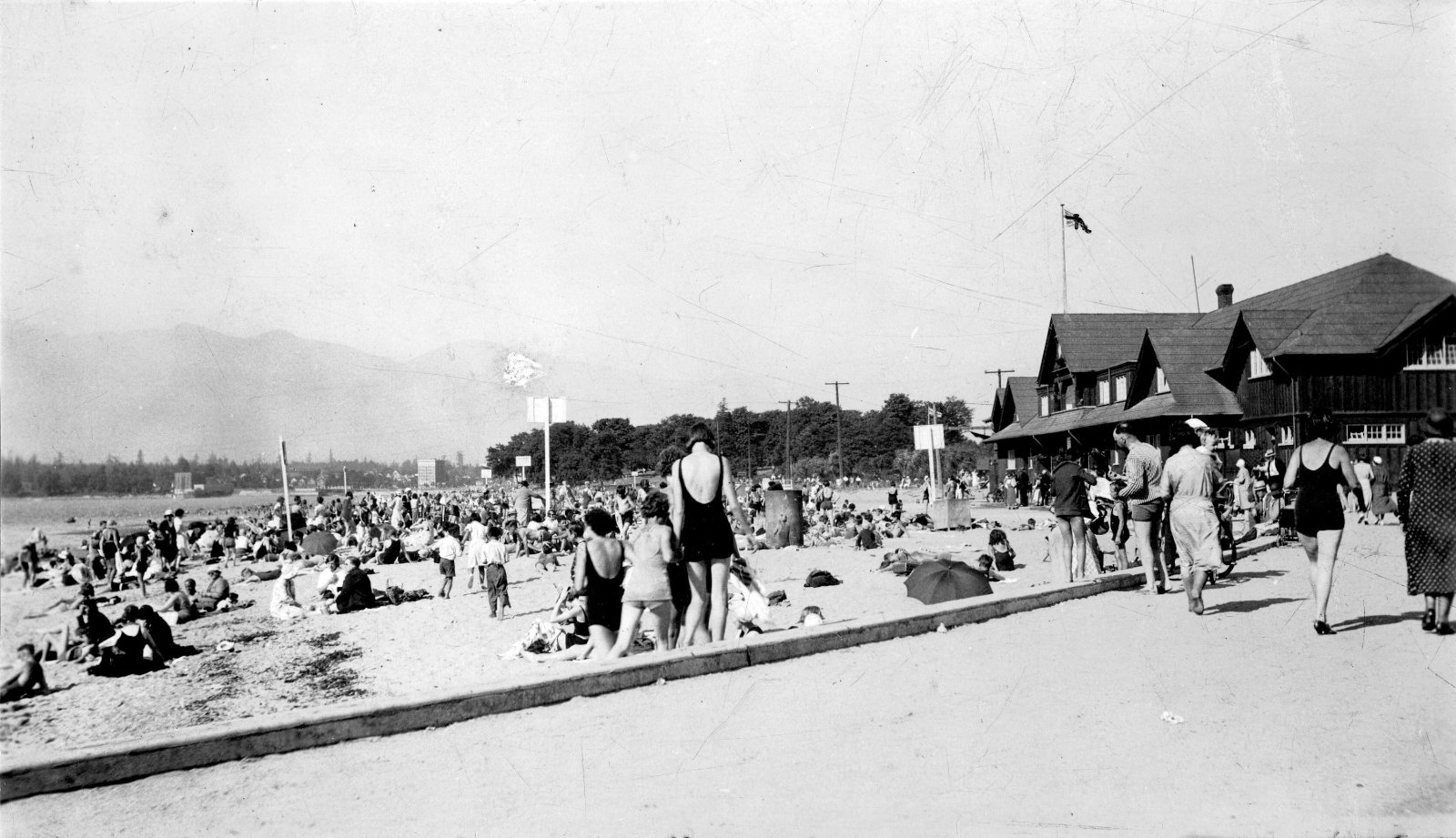
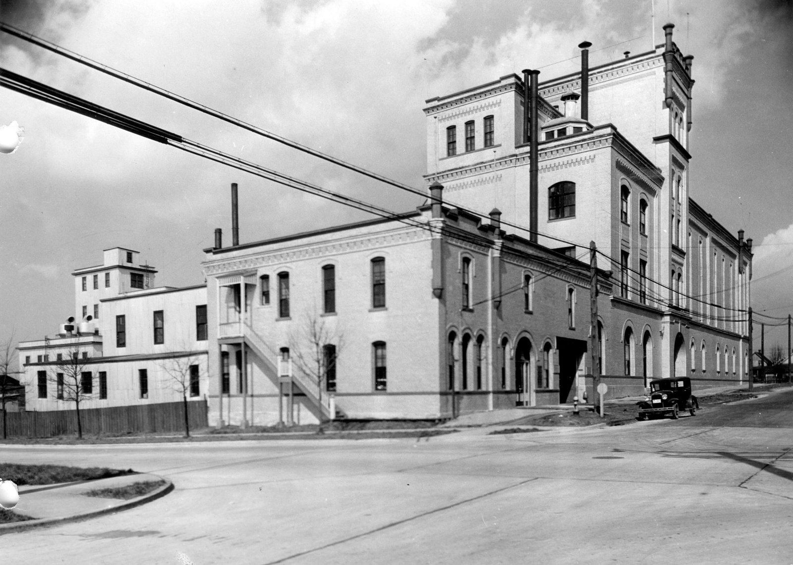
The archives' prints of Yew Street, each with its own date. Pick a year to see who the directory found at every door, block by block, with each block on Goad's 1912 map. Names through 1945.

The 2200 block
6 addresses in the directories; all still have their pre-1946 buildings. Tap a line to open its house.
Yew Street, the 2200 blockas the 1955 directory lists it, door by door, and what stands there today
*: some member of the family owns the property, to the best of the directory's knowledge (its own mark, printed from 1935)
The 1905 directory lists no one on this block.
West side, odd numbers
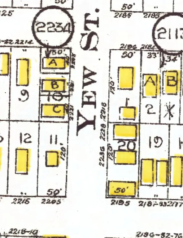
Who stayed. Of the doors with a named household in both directories, the same surname stayed at 2 of 5 between 1915 and 1925, 1 of 4 between 1925 and 1935, 2 of 5 between 1935 and 1940, and 3 of 6 between 1940 and 1945.
The 2300 block
10 addresses in the directories; four still have their pre-1946 buildings. Tap a line to open its house.
Yew Street, the 2300 blockas the 1955 directory lists it, door by door, and what stands there today
The 1905 directory lists no one on this block.
West side, odd numbers
- 2305Hall Mrs —Grey W Pa householdgone
- 2311Armitage GeoSteeves G*Lawrence C HLayton A J*Layton A J*a household · photographerstands
- 2321Fitzgerald ClarenceHaywood WProctor C R*Bileski C J*Bileski C Ja household +1stands
- 2327Bourne Robt HWright N KSmedley JMills MHarbour E Ca householdrebuilt
- 2339Braham Wm JWitcherley M AScott Rvacant*Manning D J*a householdstands
- 2343Deane ThosDe La Giroday MDavis Mrs MMcEwan F HMcEwan F H*a householdstands
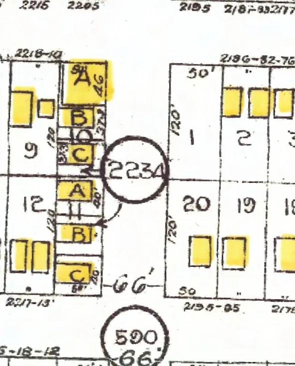
Who stayed. Of the doors with a named household in both directories, the same surname stayed at 0 of 5 between 1915 and 1925, 0 of 8 between 1925 and 1935, 0 of 7 between 1935 and 1940, and 6 of 8 between 1940 and 1945.
The 2400 block
5 addresses in the directories; three still have their pre-1946 buildings. Tap a line to open its house.
Yew Street, the 2400 blockas the 1955 directory lists it, door by door, and what stands there today
The 1905 directory lists no one on this block.
West side, odd numbers
East side, even numbers
No east-side addresses in the directories.
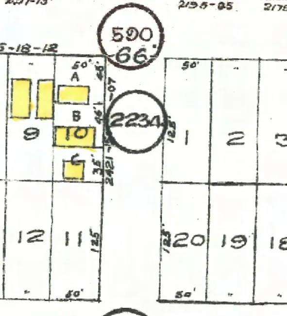
Who stayed. Of the doors with a named household in both directories, the same surname stayed at 0 of 1 between 1915 and 1925, 0 of 3 between 1925 and 1935, 1 of 3 between 1935 and 1940, and 1 of 3 between 1940 and 1945.
Who stayed
Every address on the 2200, 2300 and 2400 blocks, decade by decade. A long run of one colour is a family that stayed; a row of changing colours is a house that turned over every time the canvasser came.
Each band is one surname at the address across the directories, so it can be more than one family. An empty box: the directory doesn't list the address that year. After 1945, names are withheld.
30 more blocks, from the 1940 directory
The 1940 directory was read whole, so these blocks of Yew Street are shown from that year, door by door; tap one for who lived at each door.
- 1The 1400 block1 address
- 2The 1500 block9 addresses, between Walkway and York Avenue
- 3The 1600 block13 addresses, between York and West 1st Avenues
- 4The 1700 block2 addresses, between West 1st and West 2nd Avenues
- 5The 1800 block3 addresses, between West 2nd and West 3rd Avenues
- 6The 1900 block10 addresses, between West 3rd and West 4th Avenues
- 7The 2000 block13 addresses, between West 4th and West 5th Avenues
- 8The 2100 block16 addresses, between West 5th and West 6th Avenues
- 9The 2500 block2 addresses
- 10The 2600 block1 address, between West 10th and West 11th Avenues
- 11The 2700 block4 addresses, between West 11th Avenue and Salal Drive
- 12The 2800 block2 addresses, between Salal Drive and West 13th Avenue
- 13The 2900 block1 address, between West 13th and West 14th Avenues
- 14The 3100 block1 address, starting at West 15th Avenue
- 15The 5300 block4 addresses, between West 37th and West 38th Avenues
- 16The 5400 block8 addresses, between West 38th and West 39th Avenues
- 17The 5500 block7 addresses, between West 39th and West 40th Avenues
- 18The 5600 block7 addresses, between West 40th and West 41st Avenues
- 19The 5700 block7 addresses, between West 41st and West 42nd Avenues
- 20The 5800 block7 addresses, between West 42nd and West 43rd Avenues
- 21The 5900 block7 addresses, between West 43rd and West 44th Avenues
- 22The 6000 block4 addresses, between West 44th and West 45th Avenues
- 23The 6100 block5 addresses, between West 45th and West 46th Avenues
- 24The 6200 block4 addresses, between West 46th and West 47th Avenues
- 25The 6300 block7 addresses; the 6300 and 6400 blocks lie together between West 47th and West 49th Avenues
- 26The 6400 block6 addresses; the 6300 and 6400 blocks lie together between West 47th and West 49th Avenues
- 27The 6500 block9 addresses; the 6500 and 6600 blocks lie together between West 49th and West 51st Avenues
- 28The 6600 block12 addresses; the 6500 and 6600 blocks lie together between West 49th and West 51st Avenues
- 29The 6700 block3 addresses, between West 51st and West 53rd Avenues
- 30The 6900 block3 addresses, between West 53rd Avenue and SW Marine Drive
Listed without a number
The directory prints these lines with no house number, so they aren't filed under any address; each says where on the page it was printed.
