Mount Pleasant, Vancouver
The 2600 block
8 addresses, in the 1915, 1920, 1925, 1930, 1935, 1940 and 1945 city directories
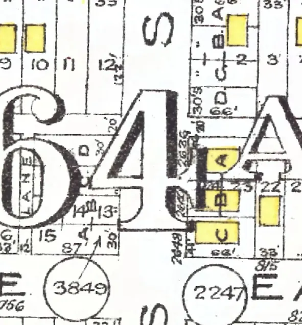
The 2600 block of Prince Albert Street in Mount Pleasant, door by door, as each year we've read lists it (1915–1945; pick one below), with what stands at each address today. The 1915, 1920, 1925, 1930, 1935, 1940 and 1945 directories print it as Burns Street; its numbers run along today's Prince Albert Street, so we take them for one street (inferred).
Between East 10th and East 11th Avenues. Eight addresses in the 1915, 1920, 1925, 1930, 1935, 1940 and 1945 directories; seven still have their pre-1946 buildings. Tap a line to open its house.
Prince Albert Street, the 2600 blockas the 1920 directory lists it, door by door, and what stands there today
*: some member of the family owns the property, to the best of the directory's knowledge (its own mark, printed from 1935)
West side, odd numbers
- 2631Hardy Geo THardy Geo TDurkin D LLindsay J A*Lindsay J A*Lindsay J A*Lindsay J Astands
- 2633Ballantyne ThosJordan A McKayEtheridge C WThomson R*Thomson R*Thomson R*Thomson Rstands
- 2637McLeod A RWest Wm AHouston TStewart CMoodie D CWasilieff TCampbell R Nstands
- 2649Hyndman Wnot listednot listednot listednot listedgone
- 2659Byles G L*Byles G L*Byles G L*Sjurdal G Astands
East side, even numbers