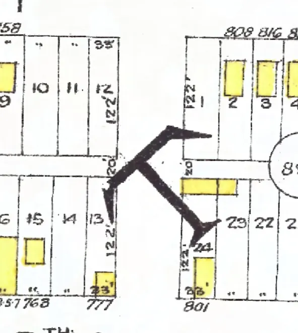
Mount Pleasant, Vancouver
The 2400 block
2 addresses, in the 1915, 1920, 1925, 1930, 1935, 1940 and 1945 city directories
The 2400 block of Prince Albert Street in Mount Pleasant, door by door, as each year we've read lists it (1915–1945; pick one below), with what stands at each address today. The 1915, 1920, 1925, 1930, 1935, 1940 and 1945 directories print it as Burns Street; its numbers run along today's Prince Albert Street, so we take them for one street (inferred).
Between East 8th Avenue and East Broadway. Two addresses in the 1915, 1920, 1925, 1930, 1935, 1940 and 1945 directories; neither of them still has its pre-1946 building. Tap a line to open its house.
Prince Albert Street, the 2400 blockas the 1920 directory lists it, door by door, and what stands there today
*: some member of the family owns the property, to the best of the directory's knowledge (its own mark, printed from 1935)
West side, odd numbers
No west-side addresses in the 1915 and 1920 and 1925 and 1930 and 1935 and 1940 and 1945 directories.