J J McRae is the name the 1940 street section prints at 1637 Cedar Crescent, marked as owning it, and no line in the name section matches it.
Reserve this house's book, freeIts history in every directory we hold from 1901 to 1945, each line with its page, to read here or save as a PDF. Read for this address so far: 1940. The book reads the other 19 directories we hold. About $29 when orders open. The City Archives charges $25 a year searched, a house historian $300 to $550 or more.
- 1
- person the 1940 directory lists here
- *
- some member of the family owns the property, to the best of the directory's knowledge, in 1940
- Still standing
- today, by the City's records
- 1925
- the year built, by the City's record
In 1940
The street section
- J J McRaemarked *p. 28

Cedar Crescent is read from the 1940 directory, street section and name section, line by line.
The house today
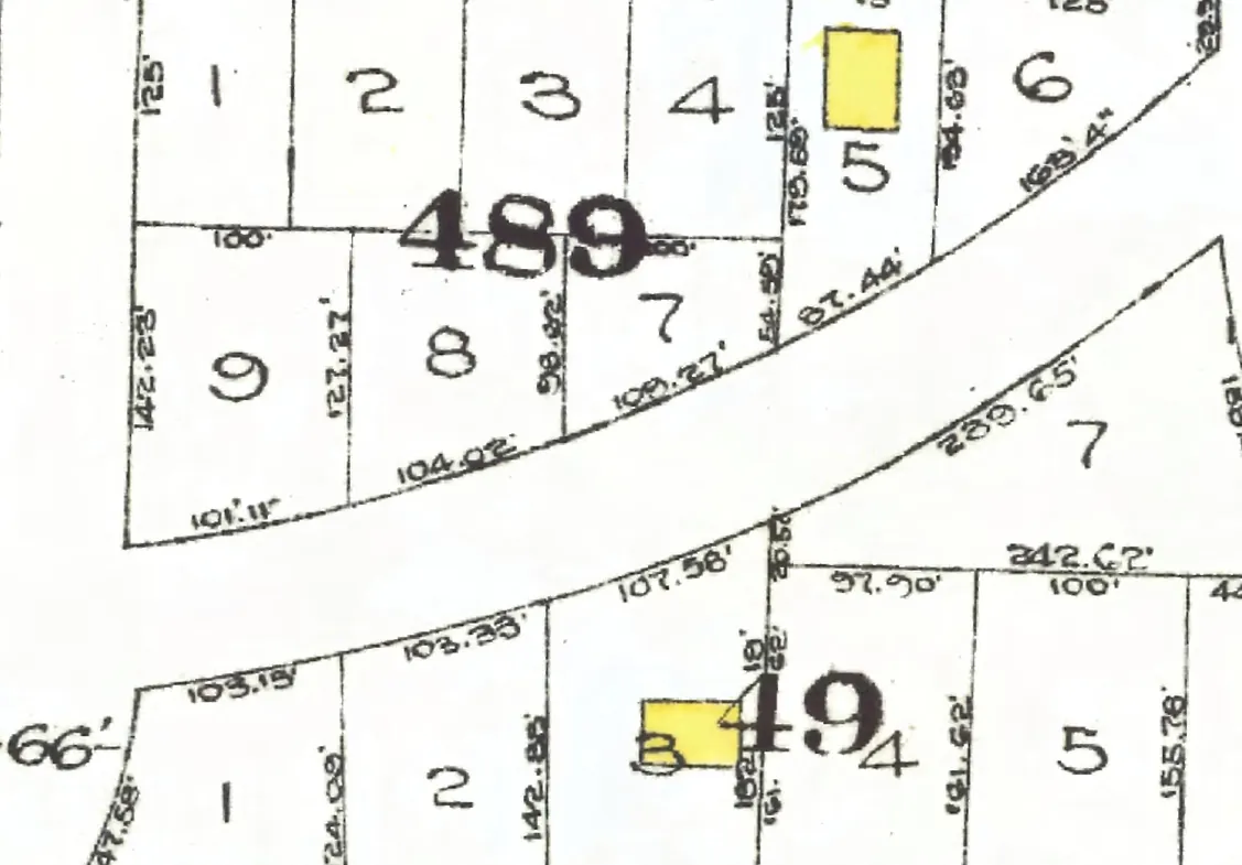
1637 Cedar Crescent still has a building from before 1946, one of six on the block; Goad's 1912 map shows no building at the street end of the lot, so this one, which the City dates to 1925, went up after it.
The 1600 block in 1940
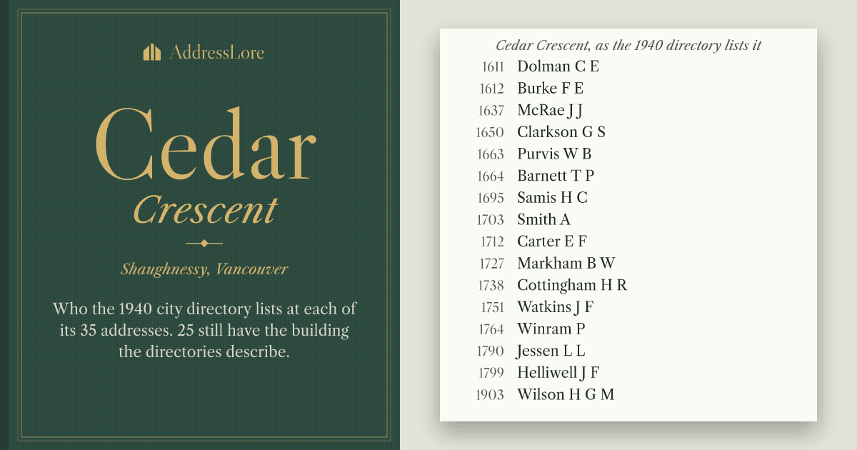
Cedar Crescent between Fir and Pine Streets, Shaughnessy: every door the 1940 directory lists on the block, the way it prints them, and what stands at each today. This house is marked in red.
Cedar Crescent, the 1600 blockas the 1940 directory lists it, door by door, and what stands there today
*: some member of the family owns the property, to the best of our knowledge (the directory's own mark, printed from 1935)
North side, odd numbers
South side, even numbers
Quote this house
One line with its source, for a listing, a talk or a family tree. A link to this page shows the card below wherever it's shared.
1637 Cedar Crescent, Shaughnessy, Vancouver, is in the 1940 city directory. A building from before 1946 still stands there: the City's record gives 1925 as the year built.
Source: AddressLore, addresslore.com/house/1637-cedar-crescent, from Vancouver's city directories (Vancouver Public Library) and City of Vancouver open data.
The book of 1637 Cedar Crescent
Every directory, as one book
The book reads this address in each Vancouver directory we hold from 1901 to 1945: who lived here year by year, their work from the name sections, the block around it, and the page behind every line, to read here or save as a PDF to print or give.
We're opening orders soon. Join the list to be first in line; we expect about $29 a house.
The City Archives search records for $25 a year searched. A hired house historian charges $300 to $550 or more.
Sources
The 1940 city directory (British Columbia and Yukon Directory), street and name sections, read by us line by line (Vancouver Public Library, BC City Directories); each line above links its page. Today's buildings: City of Vancouver Open Data (property tax report 2026, property addresses, Vancouver Heritage Register; Open Government Licence – Vancouver). The City's year built is BC Assessment's figure and can be approximate for old houses. The 1912 plate: Goad's Fire Insurance Map, georectified by the City of Vancouver. Something wrong, or a name you'd like removed? Tell us.