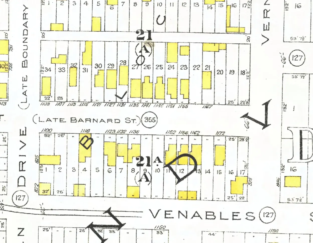
190 addresses on ten blocks of Union Street through Strathcona and Downtown, as the 1940 city directory lists them, with everyone its name section puts at each and what stands there today.
The 100 block
Ending at Main Street. Three addresses in the 1940 directory; none of them still has its pre-1946 building. Tap a line to open its house.
Union Street, the 100 blockas the 1940 directory lists it, door by door, and what stands there today
North side, odd numbers
South side, even numbers
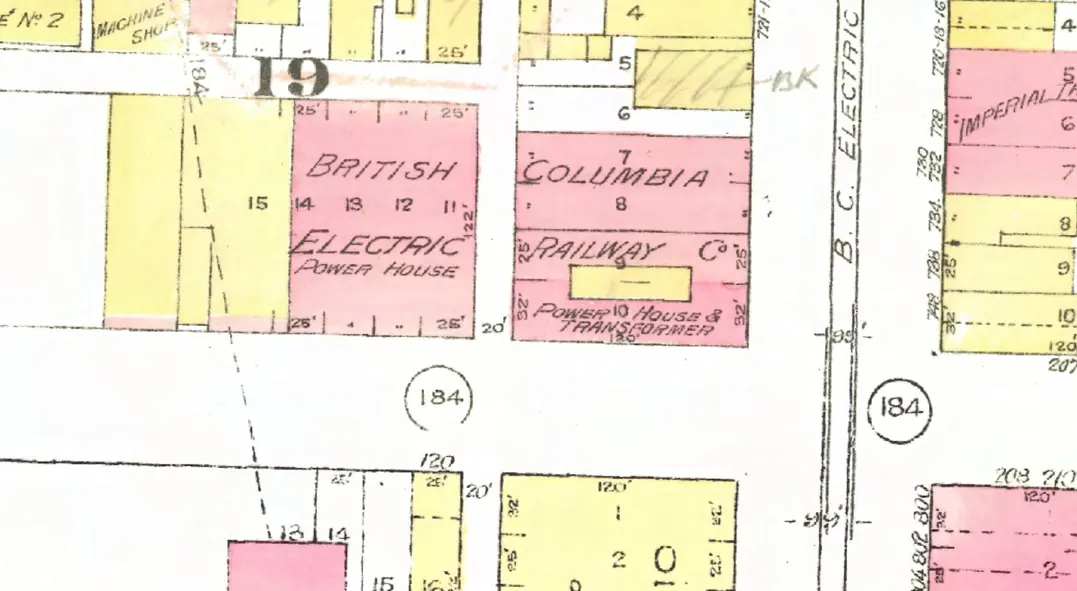
The 200 block
Between Main Street and Gore Avenue. 33 addresses in the 1940 directory; none of them still has its pre-1946 building. Tap a line to open its house.
Union Street, the 200 blockas the 1940 directory lists it, door by door, and what stands there today
*: some member of the family owns the property, to the best of our knowledge (the directory's own mark, printed from 1935)
North side, odd numbers
South side, even numbers
- 208Bingarra Roomsgone
- 210Sato Sgone
- 212Union Taxigone
- 214Wong Lee Shoe Repairsgone
- 218Pozzobon F +1gone
- 224*Miller Agone
- 226Albanese Jgone
- 230*Galliazzo Jgone
- 232Hoy L +4gone
- 234Wing Leegone
- 236Wing Yeegone
- 238Braga Mrs Egone
- 240Mitchell Wgone
- 250Mothers Tamale & Chili Parlor +1gone
- 258“Cabins”stands
- 264Berardino Fgone
- 268*Girardi Mrs Rgone
- 272*Sam Sing Fonggone
- 274Gin Leegone
- 278Hanson Mrs Cgone
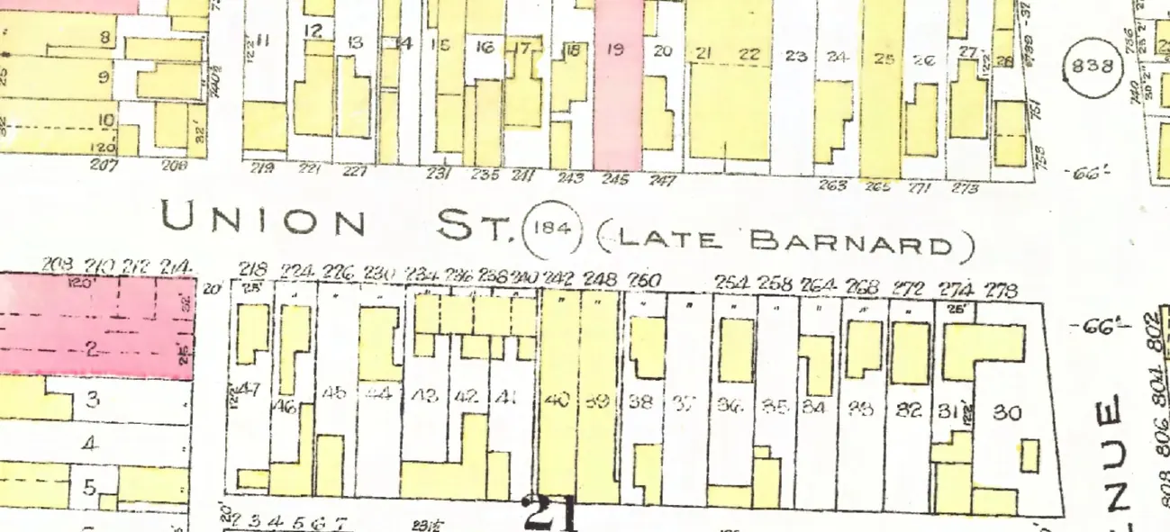
The 300 block
Between Gore and Dunlevy Avenues. 18 addresses in the 1940 directory; four still have their pre-1946 buildings. Tap a line to open its house.
Union Street, the 300 blockas the 1940 directory lists it, door by door, and what stands there today
North side, odd numbers
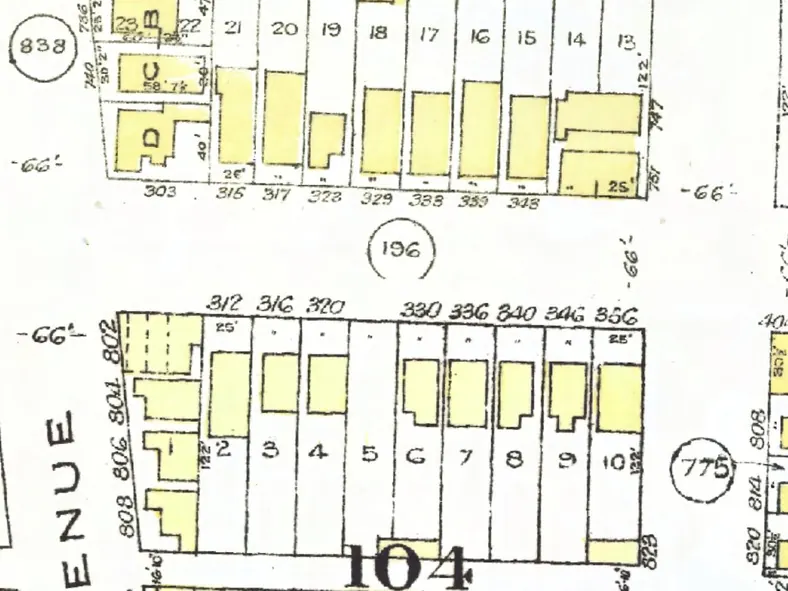
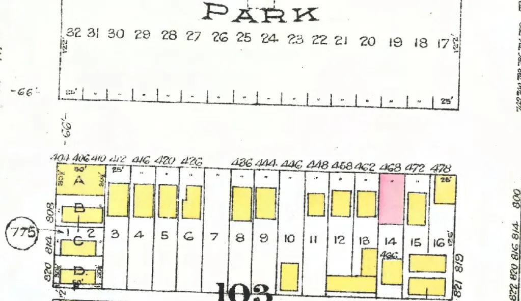
The 400 block
Between Dunlevy and Jackson Avenues. 17 addresses in the 1940 directory; ten still have their pre-1946 buildings. Tap a line to open its house.
Union Street, the 400 blockas the 1940 directory lists it, door by door, and what stands there today
North side, odd numbers
No north-side addresses in the 1940 directory.
South side, even numbers
- 404*Giuriato Brosgone
- 406Union Roomsstands
- 410*Giuriato Lgone
- 412Jefferson Mrs Estands
- 416Burlo Brebuilt
- 420*Basso Vstands
- 426*Pastro Erebuilt
- 436*Sitton Mrs Astands
- 444*Turone Mrs Mgone
- 446*Piovesan Astands
- 448*Del Secco Estands
- 458*Tuon Astands
- 462*Brandolini Astands
- 466King Jstands
- 468Ungeren J +1stands
- 472Arboit Pgone
- 478Scotty's Gro +1gone
The 500 block
Between Jackson and Princess Avenues. 23 addresses in the 1940 directory; 17 still have their pre-1946 buildings. Tap a line to open its house.
Union Street, the 500 blockas the 1940 directory lists it, door by door, and what stands there today
North side, odd numbers
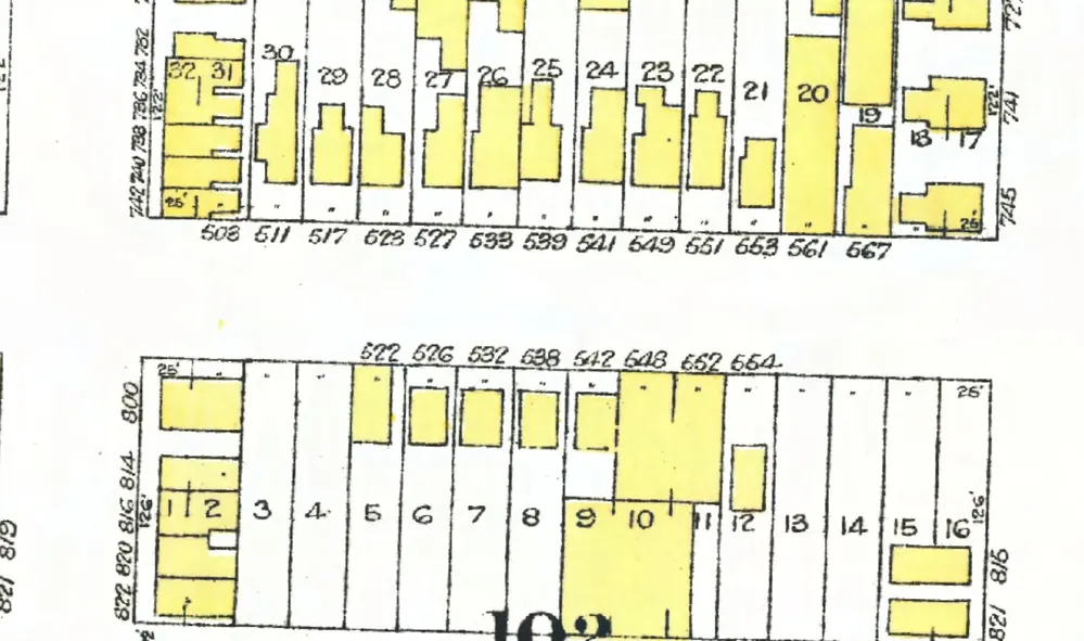
The 600 block
Between Princess and Heatley Avenues. 25 addresses in the 1940 directory; 19 still have their pre-1946 buildings. Tap a line to open its house.
Union Street, the 600 blockas the 1940 directory lists it, door by door, and what stands there today
North side, odd numbers
South side, even numbers
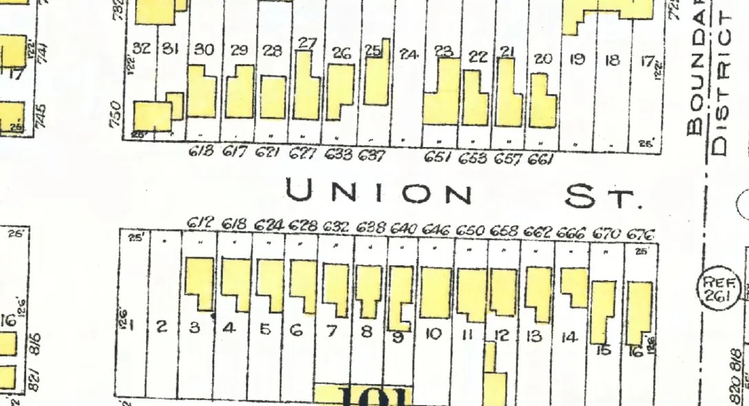
The 700 block
Between Heatley and Hawks Avenues. 21 addresses in the 1940 directory; eleven still have their pre-1946 buildings. Tap a line to open its house.
Union Street, the 700 blockas the 1940 directory lists it, door by door, and what stands there today
North side, odd numbers
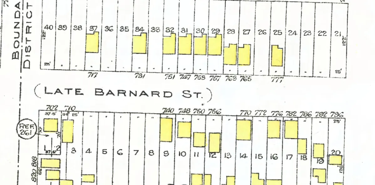
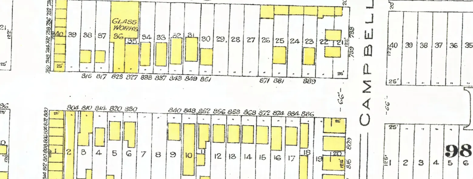
The 800 block
Between Hawks and Campbell Avenues. 26 addresses in the 1940 directory; 19 still have their pre-1946 buildings. Tap a line to open its house.
Union Street, the 800 blockas the 1940 directory lists it, door by door, and what stands there today
North side, odd numbers
South side, even numbers
- 804Young T Hgone
- 810*Matsubayashi H +1stands
- 814Silvey A Wrebuilt
- 820*Harvey Mrs S Lgone
- 830*Eletz Astands
- 836*Casola Mrs Rstands
- 840Bilyk Pstands
- 848Ezak J +4stands
- 852Schneider Fstands
- 854Gudzie Dgone
- 856*Pavich Tstands
- 858*Biljanick Mstands
- 868Magri Astands
- 872*Stimac Gstands
- 874*Child J Cstands
- 884Check Wstands
- 886Wilson J Lrebuilt
The 1000 block
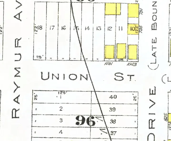
Between Raymur Avenue and Glen Drive. Four addresses in the 1940 directory; none of them still has its pre-1946 building. Tap a line to open its house.
Union Street, the 1000 blockas the 1940 directory lists it, door by door, and what stands there today
North side, odd numbers
South side, even numbers
No south-side addresses in the 1940 directory.
The 1100 block
Between Glen and Vernon Drives. 20 addresses in the 1940 directory; six still have their pre-1946 buildings. Tap a line to open its house.
Union Street, the 1100 blockas the 1940 directory lists it, door by door, and what stands there today
North side, odd numbers