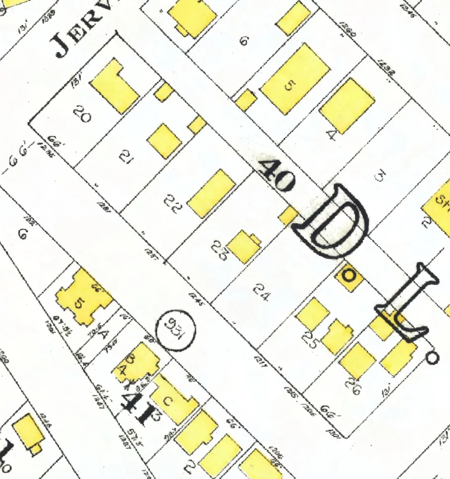
The 500 block
Between Richards and Granville Streets. Three addresses in the 1940 directory; none of them still has its pre-1946 building. Tap a line to open its house.
Pacific Street, the 500 blockas the 1940 directory lists it, door by door, and what stands there today
East side, odd numbers
West side, even numbers
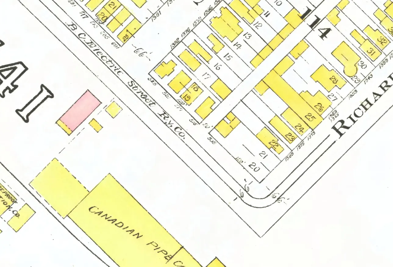
The 700 block
Ten addresses in the 1940 directory; none of them still has its pre-1946 building. Tap a line to open its house.
Pacific Street, the 700 blockas the 1940 directory lists it, door by door, and what stands there today
East side, odd numbers
West side, even numbers
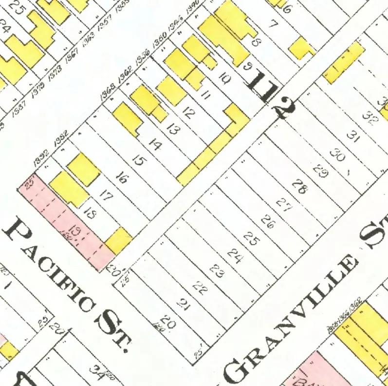
The 800 block
Between Howe and Hornby Streets. 20 addresses in the 1940 directory; none of them still has its pre-1946 building. Tap a line to open its house.
Pacific Street, the 800 blockas the 1940 directory lists it, door by door, and what stands there today
East side, odd numbers
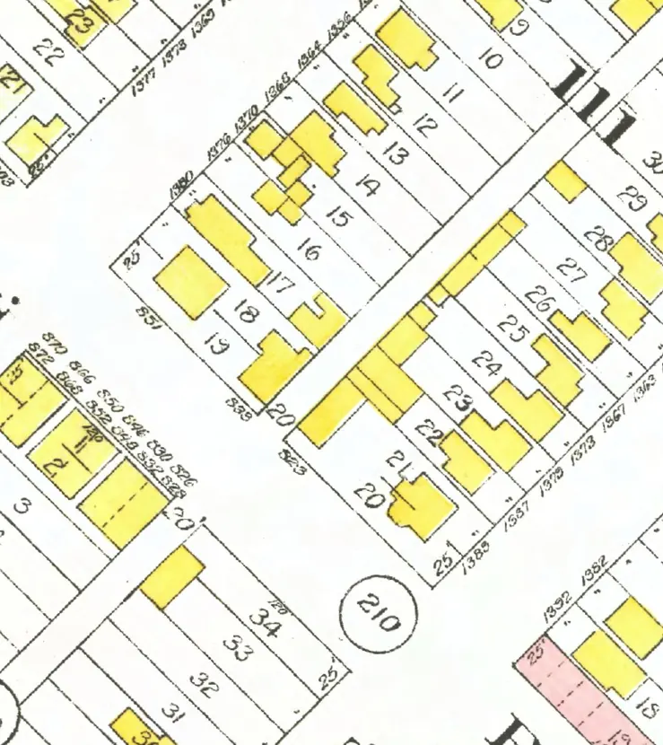
The 900 block
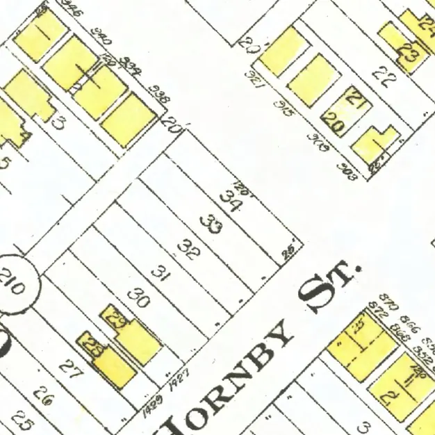
The 900 and 1000 blocks lie together between Hornby and Thurlow Streets. One address in the 1940 directory; its pre-1946 building is no longer standing. Tap a line to open its house.
Pacific Street, the 900 blockas the 1940 directory lists it, door by door, and what stands there today
East side, odd numbers
No east-side addresses in the 1940 directory.
West side, even numbers
The 1000 block
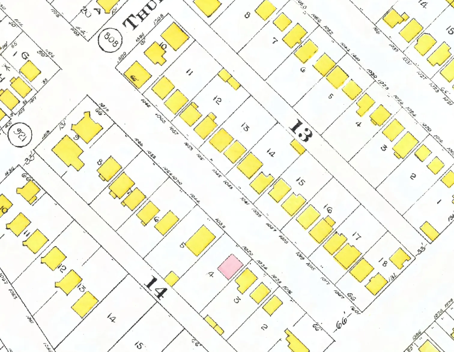
The 900 and 1000 blocks lie together between Hornby and Thurlow Streets. 31 addresses in the 1940 directory; four still have their pre-1946 buildings. Tap a line to open its house.
Pacific Street, the 1000 blockas the 1940 directory lists it, door by door, and what stands there today
*: some member of the family owns the property, to the best of our knowledge (the directory's own mark, printed from 1935)
East side, odd numbers
- 1001*Johnson W E Ggone
- 1007Cheavins T Hgone
- 1011Morrice J Agone
- 1015Crombie Agone
- 1019Burnett Mrs Prebuilt
- 1023*Cowper Mrs Erebuilt
- 1027Pastuck Astands
- 1031McAllister C Jstands
- 1033*Solloway Mrs F Cgone
- 1039Bazett C E Rgone
- 1041*Palmer H Gstands
- 1043*Hughes J Hgone
- 1045*Morrison Mrs G Sstands
- 1047Riddell Mrs F Mgone
- 1051McGinn F J Egone
- 1053Neveux Mrs R Agone
- 1057*Paddon W Hgone
- 1063*Croy Mrs A Ygone
- 1065Lockwood Mrs Astands
The 1100 block
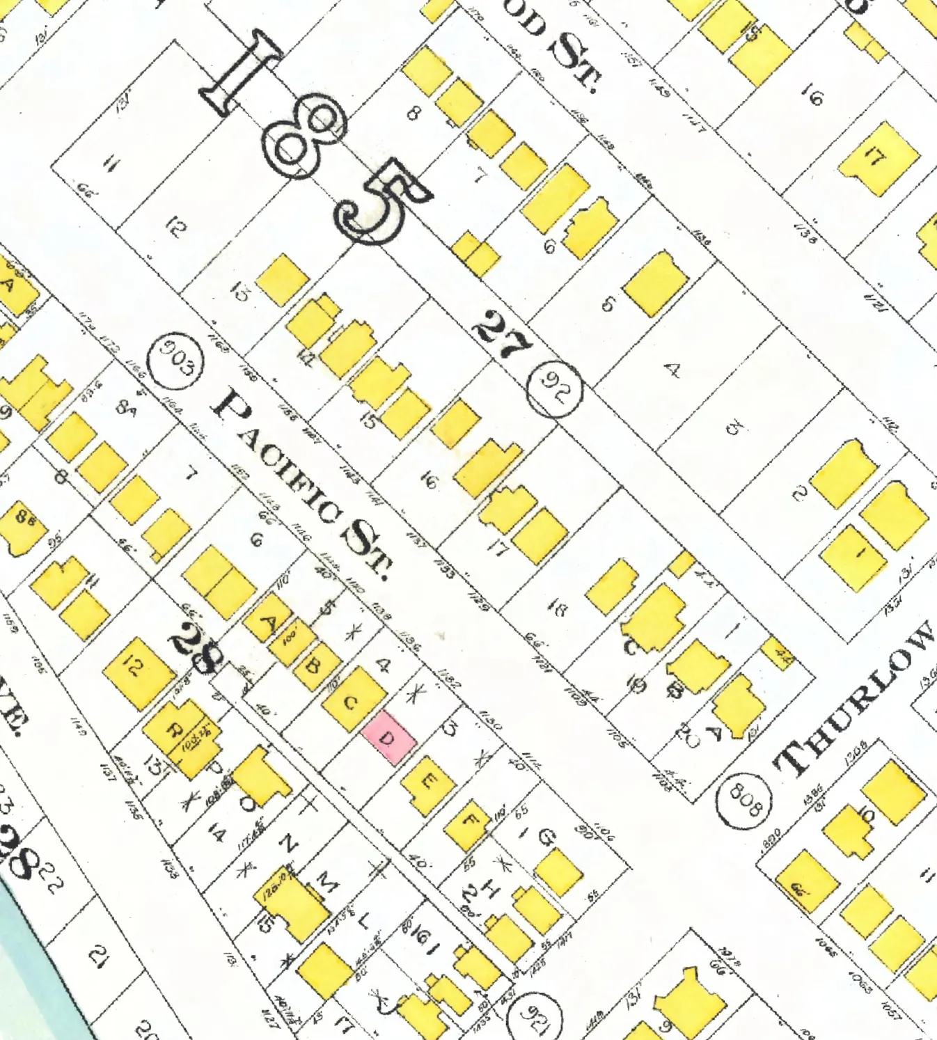
Between Thurlow and Bute Streets. 31 addresses in the 1940 directory; one still has its pre-1946 building. Tap a line to open its house.
Pacific Street, the 1100 blockas the 1940 directory lists it, door by door, and what stands there today
East side, odd numbers
West side, even numbers
- 1106Armytage-Moore Mrs A Crebuilt
- 1114*Campbell Mrs Agone
- 1130Cowie E Wgone
- 1132*Leighton Mrs F Agone
- 1136*Curtis Ggone
- 1138Upton R Jgone
- 1140Palmer Elec +1gone
- 1142Heselwood Ggone
- 1144Sabblut Mrs Mgone
- 1146Blair Mrs M Mgone
- 1148Smith Agone
- 1152*Carroll Mrs M Mgone
- 1154*Derbyshire R Wgone
- 1164Ivy Lodge +1gone
- 1166Nielson K Sgone
- 1172Temple C Ggone
- 1176*Temple C Ggone
The 1200 block
Starting at Bute Street. 13 addresses in the 1940 directory; none of them still has its pre-1946 building. Tap a line to open its house.
Pacific Street, the 1200 blockas the 1940 directory lists it, door by door, and what stands there today
East side, odd numbers
West side, even numbers