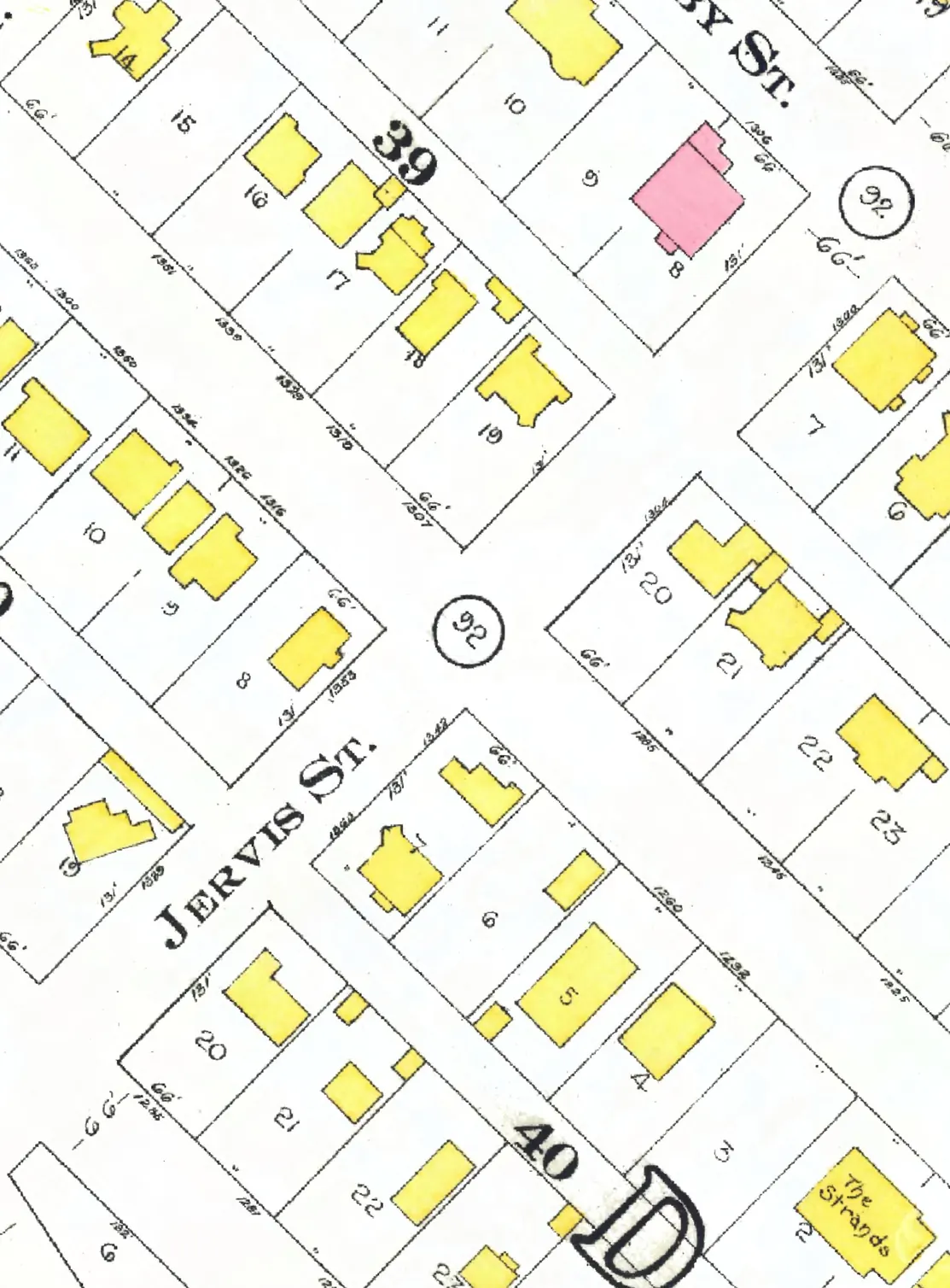
The 600 block
Between West Hastings and West Georgia Streets. Three addresses in the 1940 directory; one still has its pre-1946 building. Tap a line to open its house.
Jervis Street, the 600 blockas the 1940 directory lists it, door by door, and what stands there today
*: some member of the family owns the property, to the best of our knowledge (the directory's own mark, printed from 1935)
West side, odd numbers
East side, even numbers
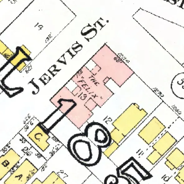
The 700 block
Ending at Robson Street. Eight addresses in the 1940 directory; none of them still has its pre-1946 building. Tap a line to open its house.
Jervis Street, the 700 blockas the 1940 directory lists it, door by door, and what stands there today
West side, odd numbers
East side, even numbers
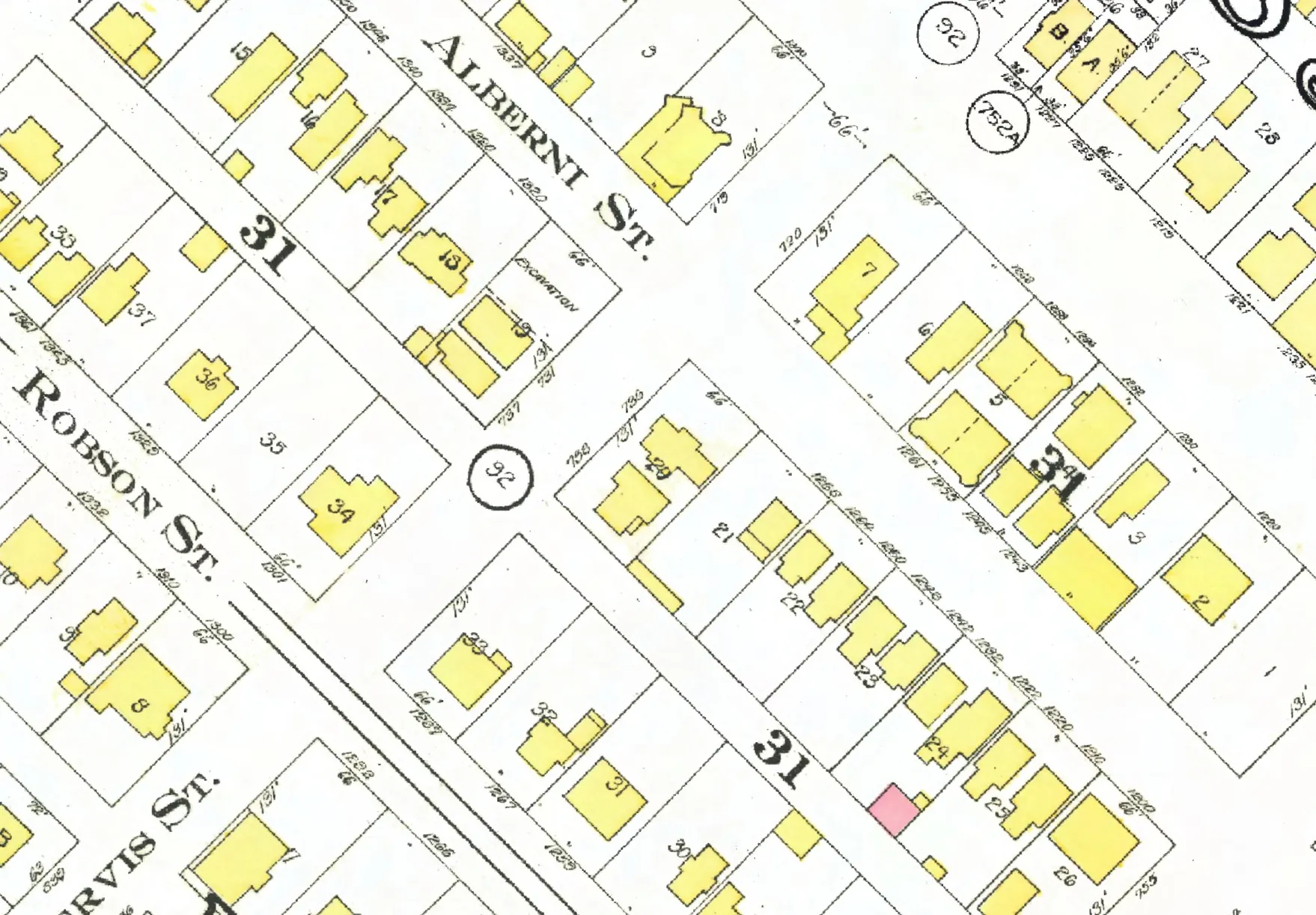
The 800 block
Between Robson and Haro Streets. Five addresses in the 1940 directory; none of them still has its pre-1946 building. Tap a line to open its house.
Jervis Street, the 800 blockas the 1940 directory lists it, door by door, and what stands there today
West side, odd numbers
East side, even numbers
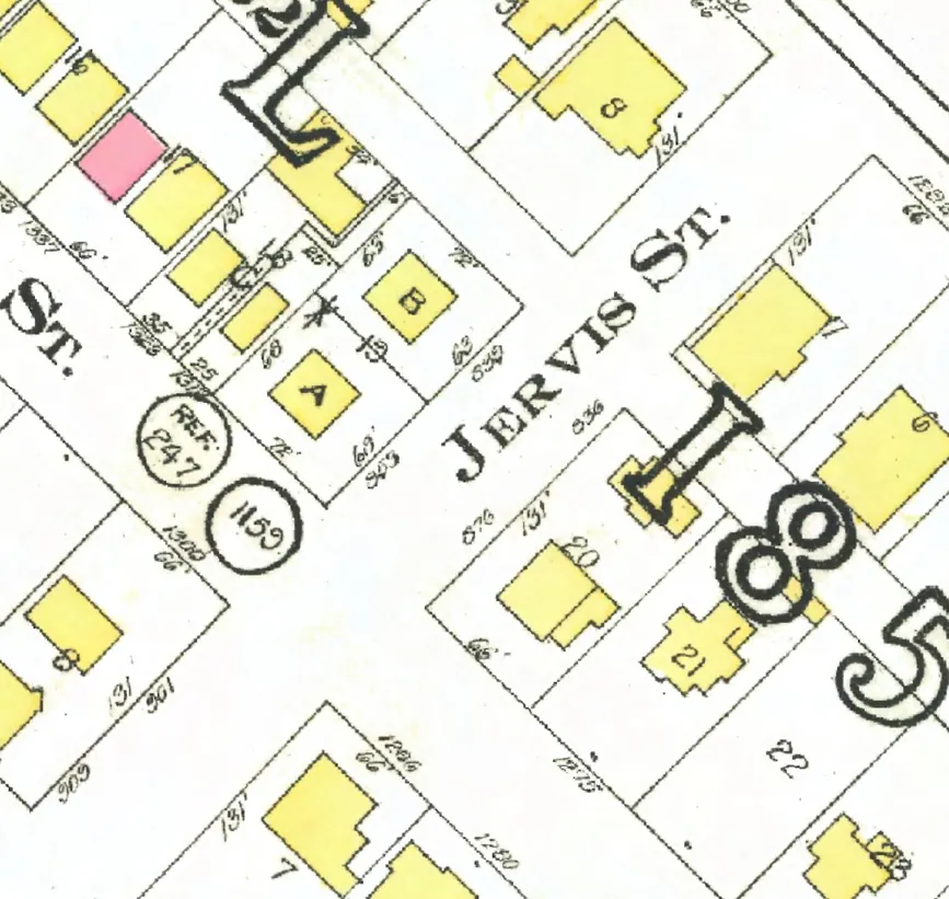
The 900 block
Between Haro and Nelson Streets. Eight addresses in the 1940 directory; one still has its pre-1946 building. Tap a line to open its house.
Jervis Street, the 900 blockas the 1940 directory lists it, door by door, and what stands there today
West side, odd numbers
East side, even numbers
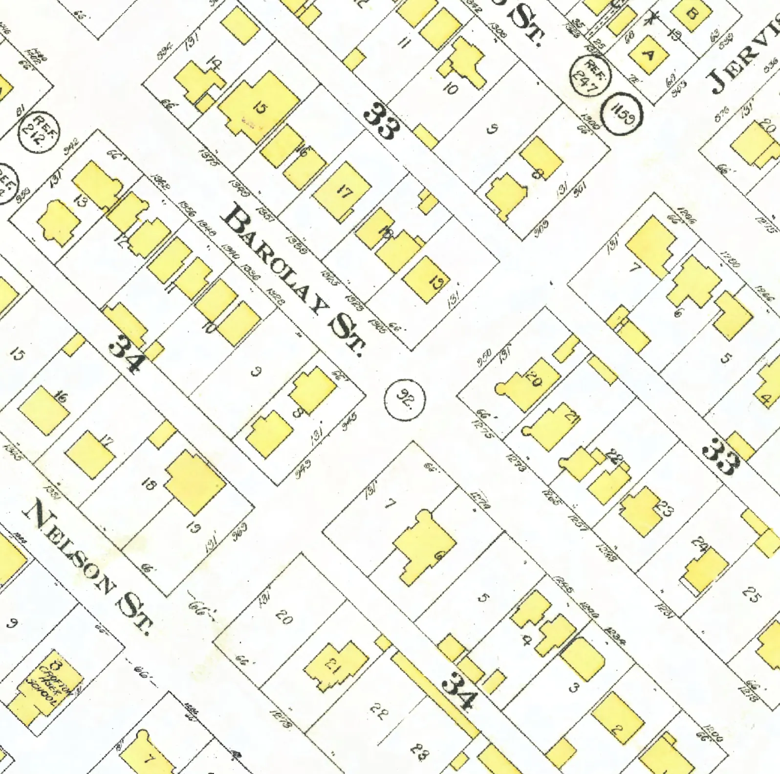
The 1000 block
The 1000 and 1100 blocks lie together between Nelson and Davie Streets. Two addresses in the 1940 directory; neither of them still has its pre-1946 building. Tap a line to open its house.
Jervis Street, the 1000 blockas the 1940 directory lists it, door by door, and what stands there today
West side, odd numbers
East side, even numbers
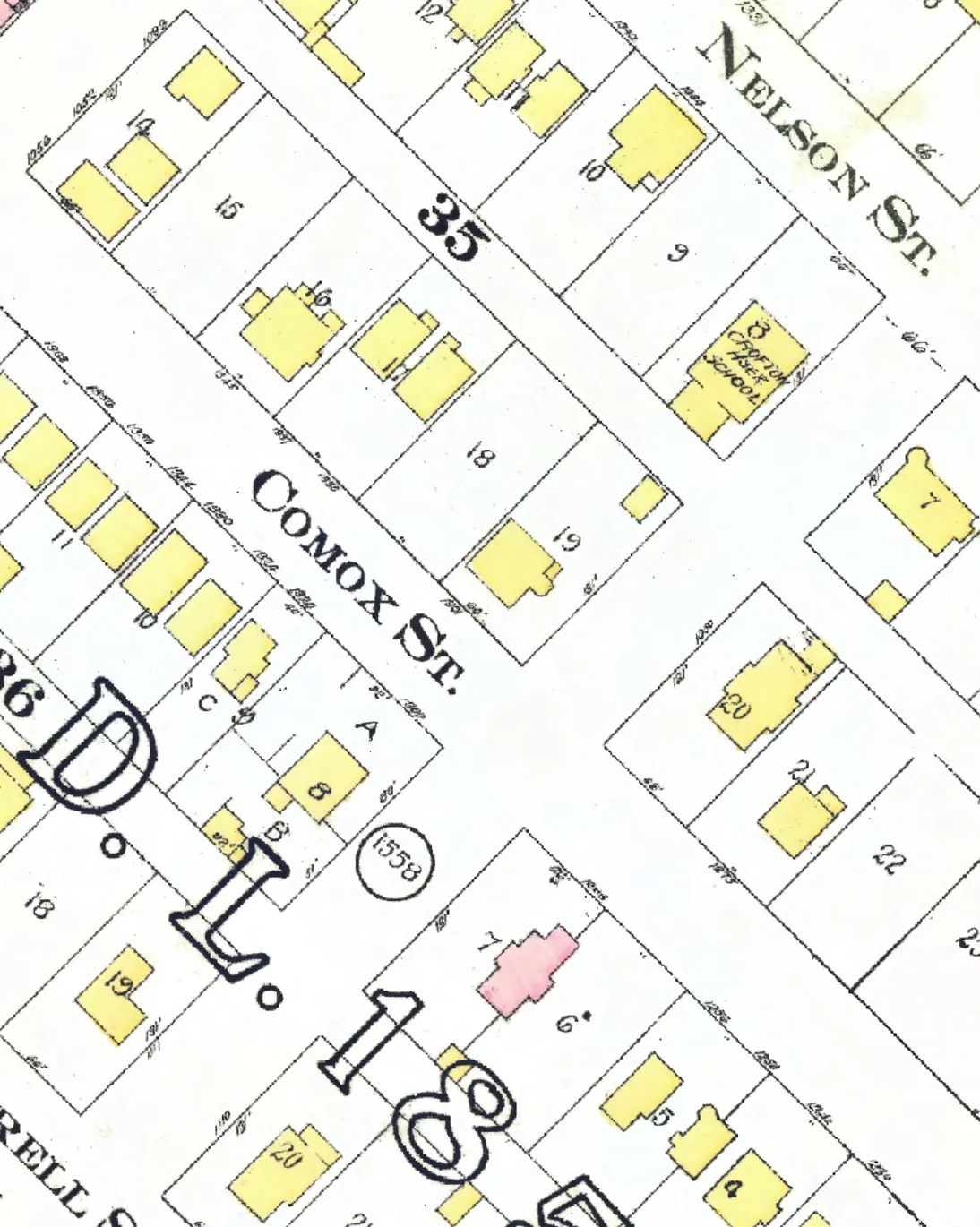
The 1100 block
The 1000 and 1100 blocks lie together between Nelson and Davie Streets. Four addresses in the 1940 directory; two still have their pre-1946 buildings. Tap a line to open its house.
Jervis Street, the 1100 blockas the 1940 directory lists it, door by door, and what stands there today
West side, odd numbers
East side, even numbers
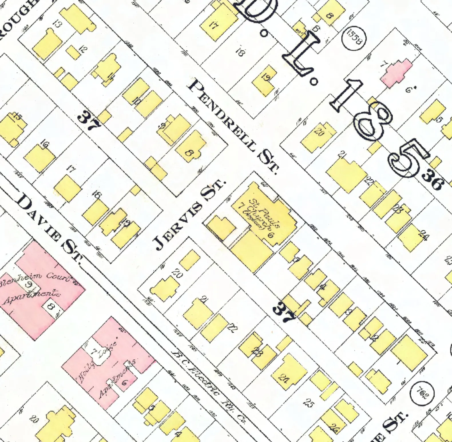
The 1200 block
Between Davie and Burnaby Streets. One address in the 1940 directory; it still has its pre-1946 building. Tap a line to open its house.
Jervis Street, the 1200 blockas the 1940 directory lists it, door by door, and what stands there today
West side, odd numbers
East side, even numbers
No east-side addresses in the 1940 directory.
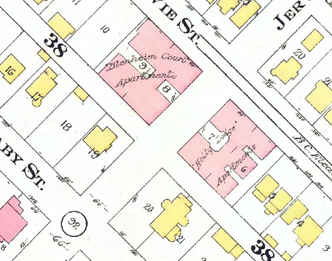
The 1300 block
Starting at Burnaby Street. Four addresses in the 1940 directory; none of them still has its pre-1946 building. Tap a line to open its house.
Jervis Street, the 1300 blockas the 1940 directory lists it, door by door, and what stands there today
West side, odd numbers
East side, even numbers