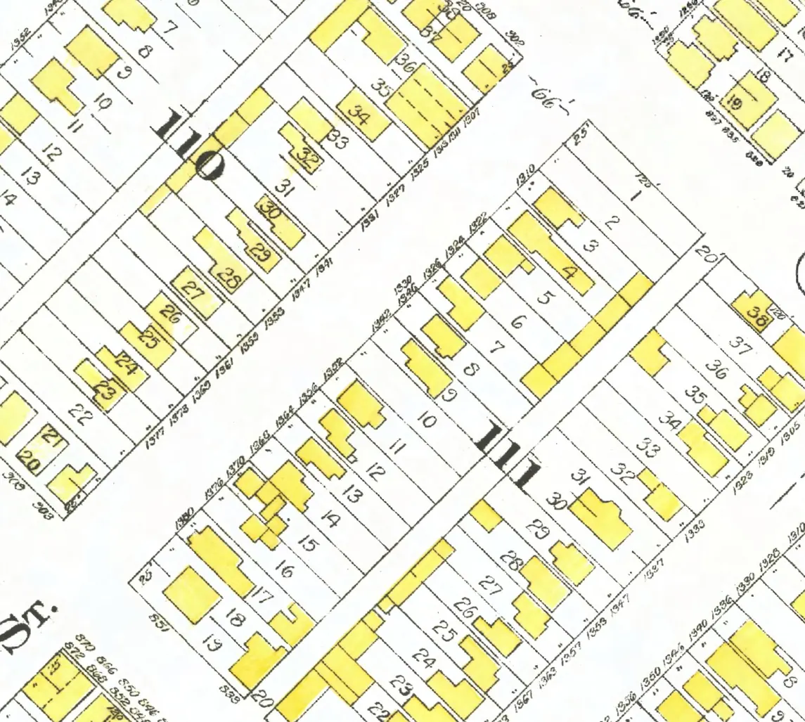
221 addresses on ten blocks of Hornby Street in Downtown, as the 1940 city directory lists them, with everyone its name section puts at each and what stands there today.
The 400 block
Seven addresses in the 1940 directory; none of them still has its pre-1946 building. Tap a line to open its house.
Hornby Street, the 400 blockas the 1940 directory lists it, door by door, and what stands there today
West side, odd numbers
No west-side addresses in the 1940 directory.
The 500 block
Ending at Dunsmuir Street. 21 addresses in the 1940 directory; none of them still has its pre-1946 building. Tap a line to open its house.
Hornby Street, the 500 blockas the 1940 directory lists it, door by door, and what stands there today
*: some member of the family owns the property, to the best of our knowledge (the directory's own mark, printed from 1935)
West side, odd numbers
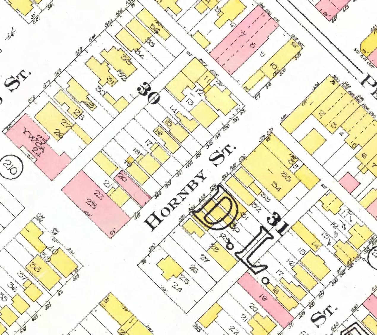
The 600 block
Between Dunsmuir and West Georgia Streets. 19 addresses in the 1940 directory; one still has its pre-1946 building. Tap a line to open its house.
Hornby Street, the 600 blockas the 1940 directory lists it, door by door, and what stands there today
West side, odd numbers
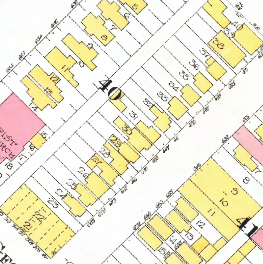
The 700 block
Between West Georgia and Robson Streets. Seven addresses in the 1940 directory; none of them still has its pre-1946 building. Tap a line to open its house.
Hornby Street, the 700 blockas the 1940 directory lists it, door by door, and what stands there today
West side, odd numbers
East side, even numbers
No east-side addresses in the 1940 directory.
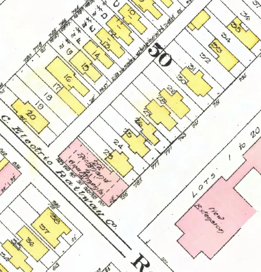
The 800 block
Between Robson and Smithe Streets. 36 addresses in the 1940 directory; none of them still has its pre-1946 building. Tap a line to open its house.
Hornby Street, the 800 blockas the 1940 directory lists it, door by door, and what stands there today
West side, odd numbers
East side, even numbers
- 804Doyle Sch of Dancing +1gone
- 806Robson Transfer +3gone
- 808Nelson E Wgone
- 812vacantgone
- 816Cameron Constn Co Ltd +2gone
- 818Gladwin Dr J Sgone
- 820Gillette's Ltdgone
- 822B C Govt Liq Storegone
- 832Hecker M J +2gone
- 836Eccles E Mgone
- 842Negreiff Jgone
- 846Clement F E +1gone
- 850Longlitz W Bgone
- 852Allen L Hgone
- 854Hornby Confgone
- 860Smith W A +1gone
- 866Meehan M Jgone
- 870Graham Mrs S Bgone
- 876Loggers Agcygone
- 878Rosicrucian Ordergone
- 882Brown Mrs L Rgone
- 886Aston Egone
- 892Lafayette Apts +4gone
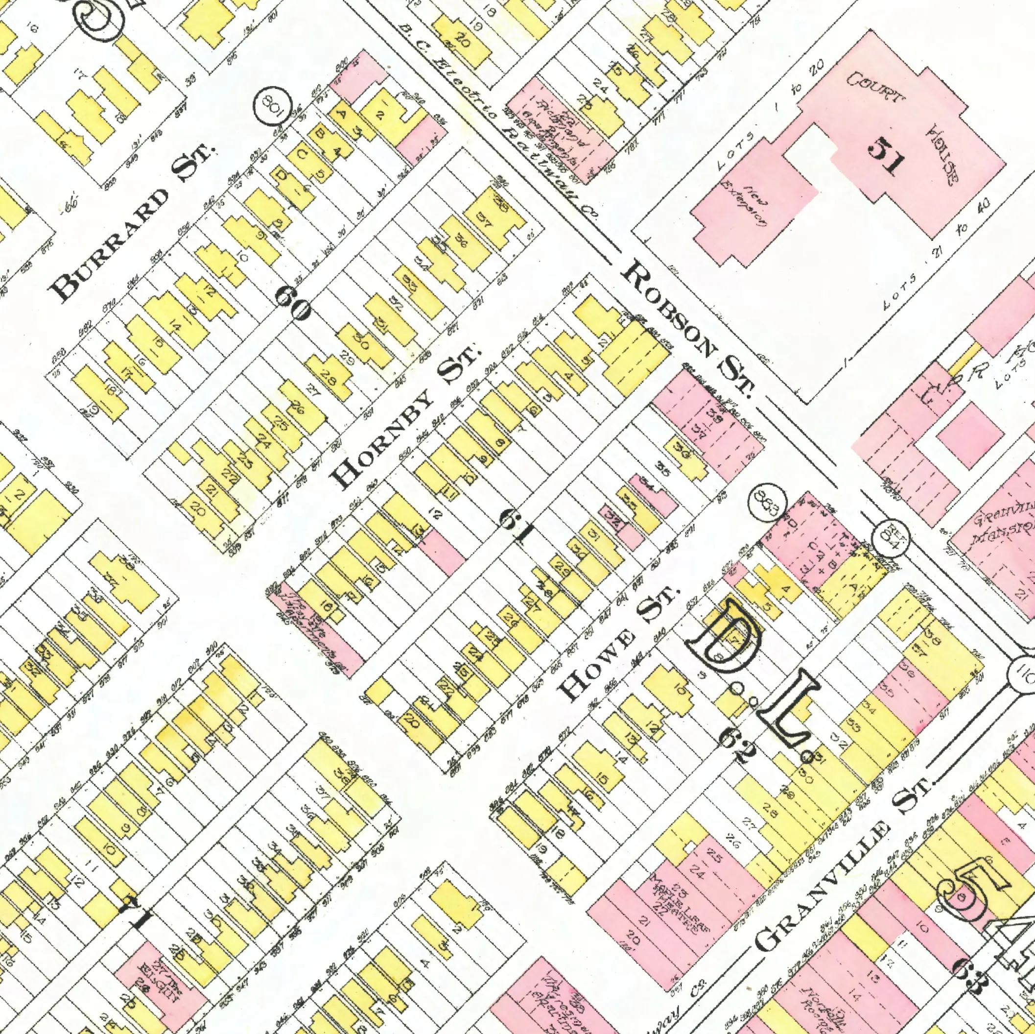
The 900 block
Between Smithe and Nelson Streets. 37 addresses in the 1940 directory; none of them still has its pre-1946 building. Tap a line to open its house.
Hornby Street, the 900 blockas the 1940 directory lists it, door by door, and what stands there today
West side, odd numbers
East side, even numbers
- 900Walker Wgone
- 902*Middleton Mrs Rgone
- 912occupied, no name givengone
- 918*Clasquin Egone
- 922Cowie A Ggone
- 926Sterne E Kgone
- 930Allan Agone
- 936Ness G Cgone
- 940Hummel Fgone
- 946Huffman A Bgone
- 952Andrew Roomsgone
- 956Boycott C Hgone
- 962Fontana Agone
- 966Anderton Wgone
- 970Woitowich Jgone
- 978*Doffner B Agone
- 982Adair Mrs Mgone
- 988Snowdrop Clnrsgone
- 990Leeds Miss L +3gone
- 992Tommy's Gro +1gone
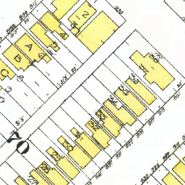
The 1000 block
Between Nelson and Helmcken Streets. 13 addresses in the 1940 directory; none of them still has its pre-1946 building. Tap a line to open its house.
Hornby Street, the 1000 blockas the 1940 directory lists it, door by door, and what stands there today
West side, odd numbers
No west-side addresses in the 1940 directory.
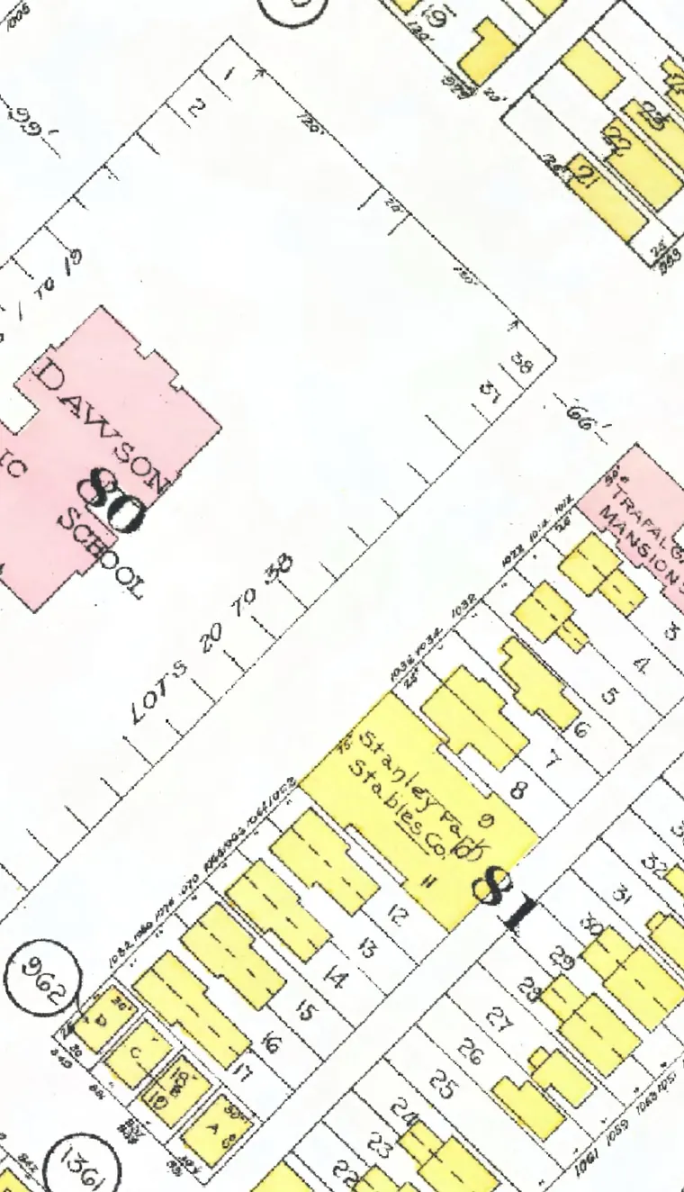
The 1100 block
Between Helmcken and Davie Streets. 28 addresses in the 1940 directory; two still have their pre-1946 buildings. Tap a line to open its house.
Hornby Street, the 1100 blockas the 1940 directory lists it, door by door, and what stands there today
West side, odd numbers
- 1101Lee Mrs Egone
- 1109Jones C Hgone
- 1117Murray Gro & Confgone
- 1119Murray Hotel +1stands
- 1127*Hurliman Mrs Mgone
- 1133*Robison R Hstands
- 1141Caughlin Mrs Crebuilt
- 1147Pearce Hgone
- 1153*Wootton W Cgone
- 1157Moore B Cgone
- 1161McKone A Rgone
- 1169*Langlois J Dgone
- 1173Hopkins Mrs Agone
- 1179MacLean Mrs M Cgone
- 1189Russell Mrs Ggone
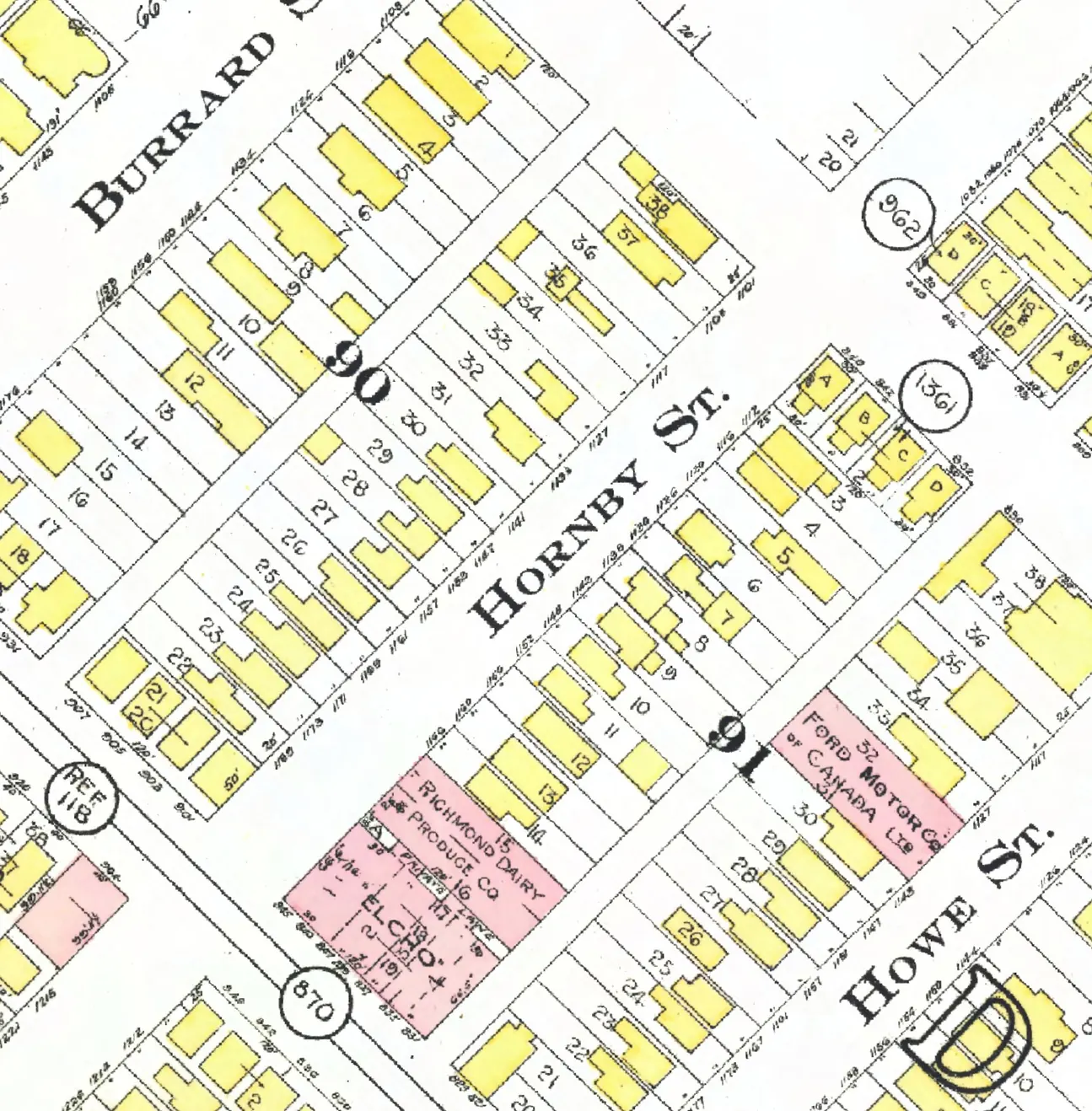
The 1200 block
Between Davie and Drake Streets. 27 addresses in the 1940 directory; none of them still has its pre-1946 building. Tap a line to open its house.
Hornby Street, the 1200 blockas the 1940 directory lists it, door by door, and what stands there today
West side, odd numbers
East side, even numbers
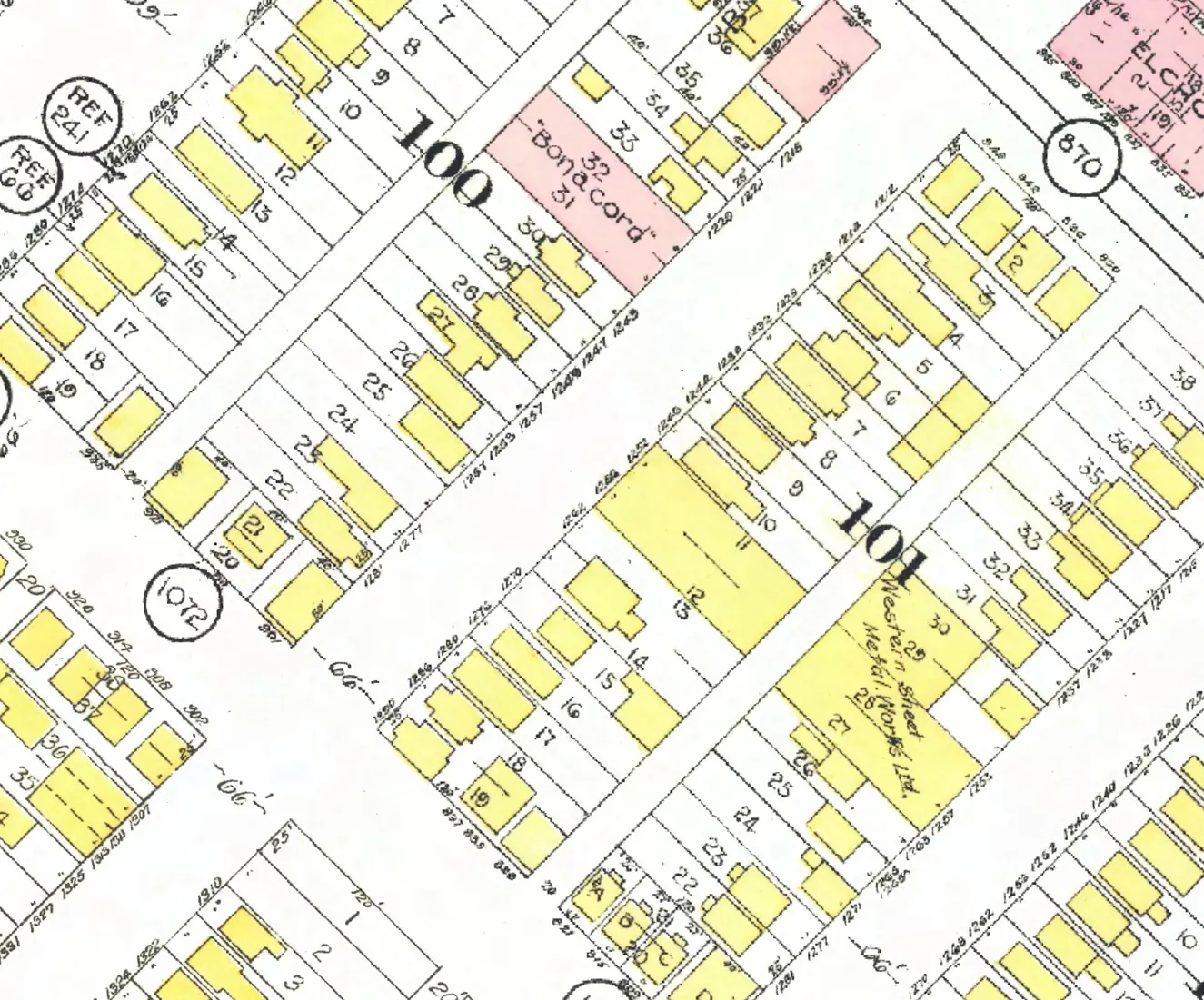
The 1300 block
Between Drake and Pacific Streets. 26 addresses in the 1940 directory; none of them still has its pre-1946 building. Tap a line to open its house.
Hornby Street, the 1300 blockas the 1940 directory lists it, door by door, and what stands there today
West side, odd numbers