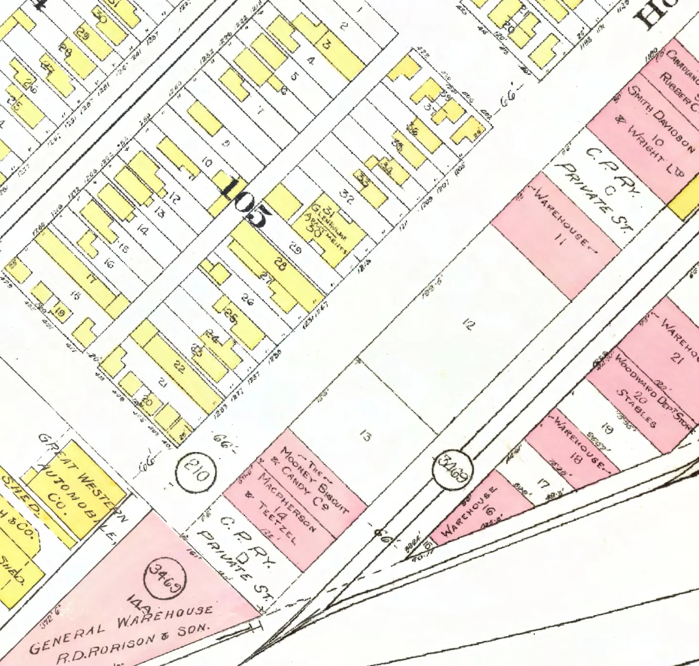
210 addresses on ten blocks of Homer Street in Downtown, as the 1940 city directory lists them, with everyone its name section puts at each and what stands there today.
The 300 block
Ending at West Hastings Street. Ten addresses in the 1940 directory; one still has its pre-1946 building. Tap a line to open its house.
Homer Street, the 300 blockas the 1940 directory lists it, door by door, and what stands there today
West side, odd numbers
East side, even numbers
The 400 block
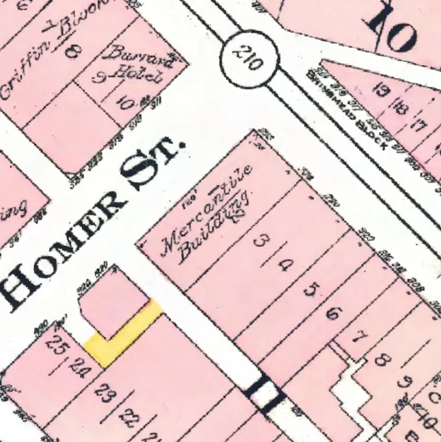
Between West Hastings and West Pender Streets. 17 addresses in the 1940 directory; none of them still has its pre-1946 building. Tap a line to open its house.
Homer Street, the 400 blockas the 1940 directory lists it, door by door, and what stands there today
West side, odd numbers
The 500 block
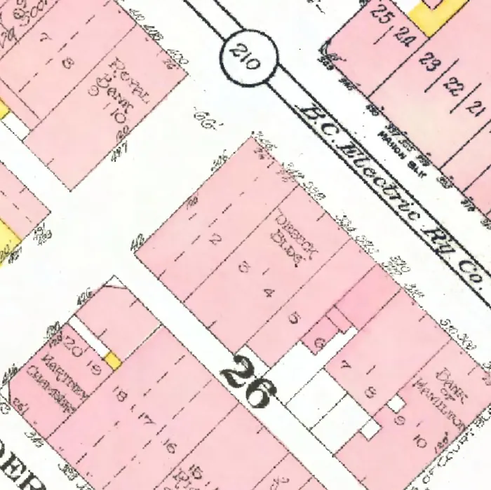
Between West Pender and Dunsmuir Streets. 22 addresses in the 1940 directory; one still has its pre-1946 building. Tap a line to open its house.
Homer Street, the 500 blockas the 1940 directory lists it, door by door, and what stands there today
West side, odd numbers
The 600 block
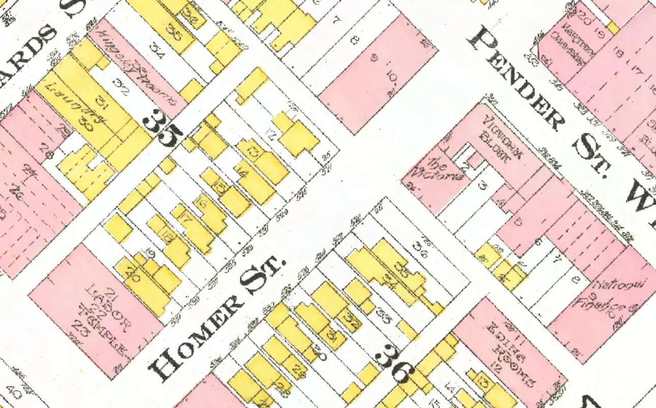
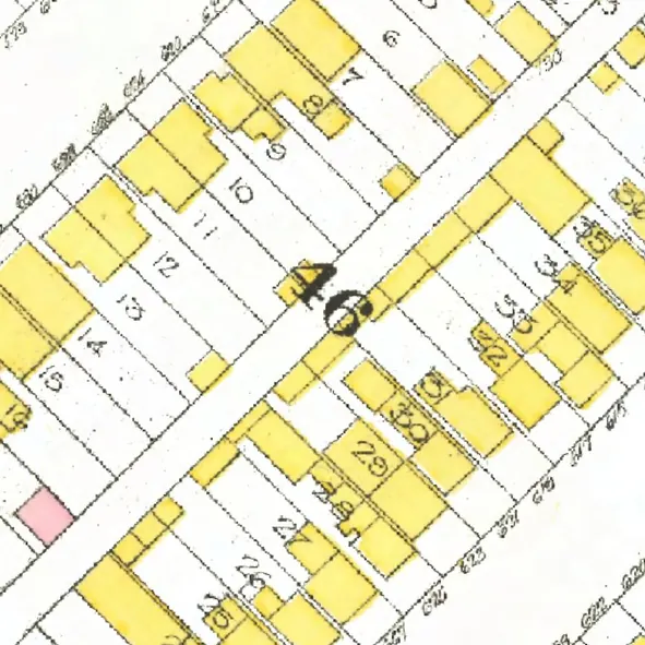
The 600 and 700 blocks lie together between Dunsmuir and Robson Streets. 24 addresses in the 1940 directory; none of them still has its pre-1946 building. Tap a line to open its house.
Homer Street, the 600 blockas the 1940 directory lists it, door by door, and what stands there today
West side, odd numbers
East side, even numbers
- 604Penfold Roofing Co +1gone
- 606Ryan Msngrs +1gone
- 608Mulligan Pgone
- 612Oliversen Kgone
- 614Lancaster C Hgone
- 616Roedde G A Ltdgone
- 618B C Journal of Commerce Ltd +2gone
- 622Cornell & Burroughs +1gone
- 624Homer Gargone
- 666Reliable Fnshrs +1gone
- 672Critchley J Hgone
- 678Stone's Transf +2gone
- 682Rosenlund Lgone
- 684O'Hara J Egone
- 686vacantgone
The 700 block
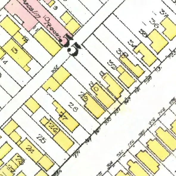
The 600 and 700 blocks lie together between Dunsmuir and Robson Streets. 31 addresses in the 1940 directory; none of them still has its pre-1946 building. Tap a line to open its house.
Homer Street, the 700 blockas the 1940 directory lists it, door by door, and what stands there today
*: some member of the family owns the property, to the best of our knowledge (the directory's own mark, printed from 1935)
West side, odd numbers
- 719*Strathie D +1gone
- 723Shean L +1gone
- 731Superior Plating Wksgone
- 739Griffiths J Pgone
- 741Peart Mrs Mgone
- 747Brndiar Jgone
- 751Williams Tgone
- 755Stonehouse Motors (Annex)gone
- 767Mercosky Bgone
- 771Wright Mrs J +1gone
- 777Chamberlain's Tire Serv +1rebuilt
- 783McCourt Mrs M +1gone
- 785Homer Lndygone
- 787Turriff W Lgone
- 793Rakochy Sgone
East side, even numbers
- 720Orient Tea Co +1gone
- 722“Cabins”gone
- 726Western Electrotypegone
- 728Jeffree & Jeffree Ltdgone
- 732Hewitt G H Co Ltdgone
- 736Adams J Wgone
- 738Carter C +1gone
- 742Murphy Wgone
- 748Elliott Miss Sgone
- 750Sutton R Tgone
- 756Weaver Rgone
- 758Lewis H S +1gone
- 762Jefferson Pgone
- 766Morgan & Co +1gone
- 776Cabin Gro +2gone
- 782St Eloi Mrs M E +7gone
The 800 block
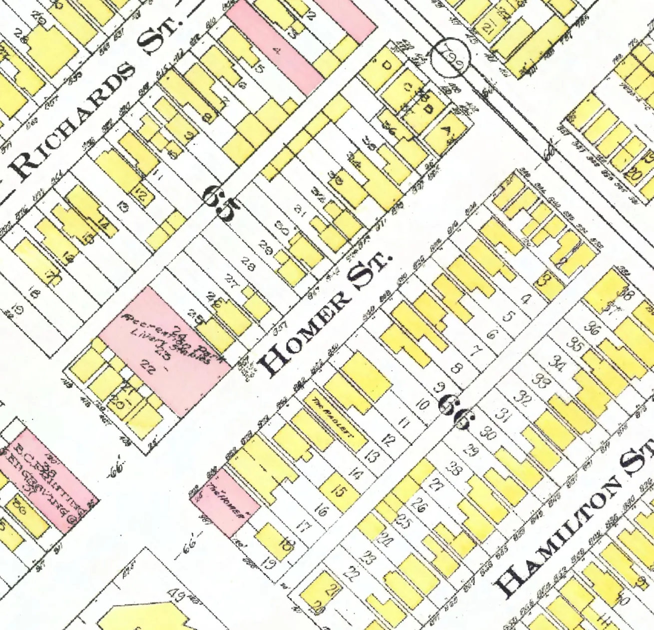
Between Robson and Smithe Streets. 31 addresses in the 1940 directory; none of them still has its pre-1946 building. Tap a line to open its house.
Homer Street, the 800 blockas the 1940 directory lists it, door by door, and what stands there today
West side, odd numbers
East side, even numbers
- 804Jones Mrs Mgone
- 806*McGregor Jrebuilt
- 816*Driver Mrs C Jgone
- 822Canning Prebuilt
- 826vacantgone
- 830*Driver Mrs C Jgone
- 838French W Jgone
- 840Rattray W Ggone
- 850Michielsen Jgone
- 856*Herdman J Arebuilt
- 862*Gerhart Mrs Mgone
- 866Cowan Hgone
- 868Smith C Agone
- 872Patterson Wood Yd +1gone
- 878Drew Fred +1gone
- 880Messer R P +3gone
- 882Swift P Cgone
- 892Smythe Cash Gro +1gone
The 900 block
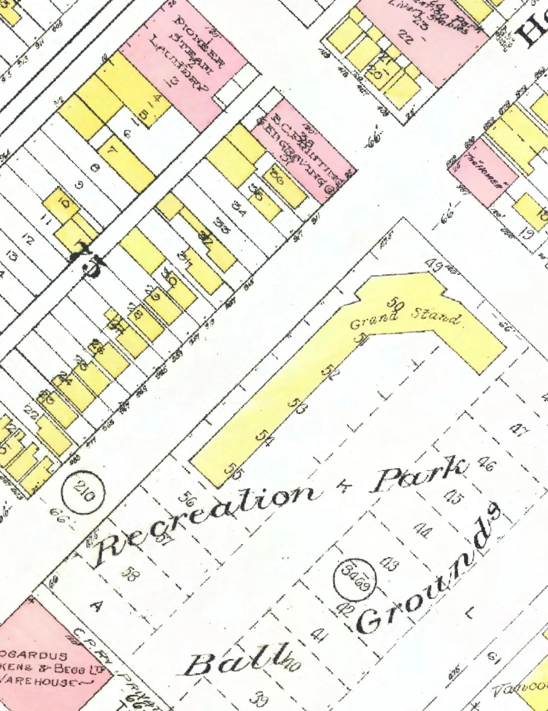
Between Smithe and Nelson Streets. 14 addresses in the 1940 directory; two still have their pre-1946 buildings. Tap a line to open its house.
Homer Street, the 900 blockas the 1940 directory lists it, door by door, and what stands there today
West side, odd numbers
East side, even numbers
The 1000 block
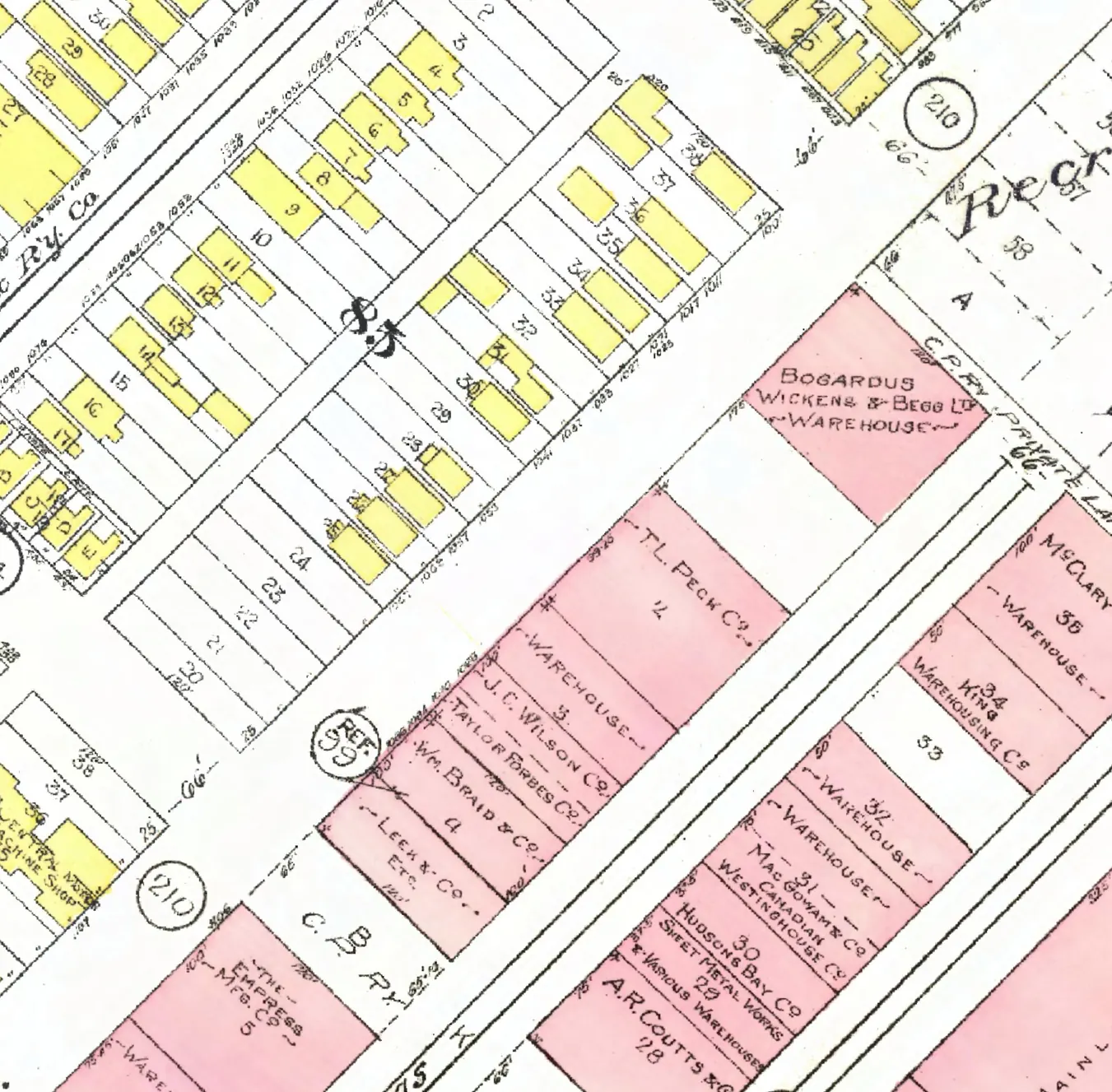
Between Nelson and Helmcken Streets. 24 addresses in the 1940 directory; three still have their pre-1946 buildings. Tap a line to open its house.
Homer Street, the 1000 blockas the 1940 directory lists it, door by door, and what stands there today
West side, odd numbers
East side, even numbers
- 1000Bogardus Wickensgone
- 1004McKenzie L A & Co +2gone
- 1010Canada Cycle & Motorgone
- 1014Genl Exch Ins Corpn +2stands
- 1038Empire Brassgone
- 1052Enamel & Heating Products Ltdgone
- 1060Barr & Andersongone
- 1062Ramsay A & Son Costands
- 1068Wilson J C Ltdgone
- 1070Johnston R E Cogone
- 1084Crann Stge Co +8gone
- 1086Harrisons & Crosfield +3gone
- 1090Can Westinghouse (repair dept)stands
The 1100 block
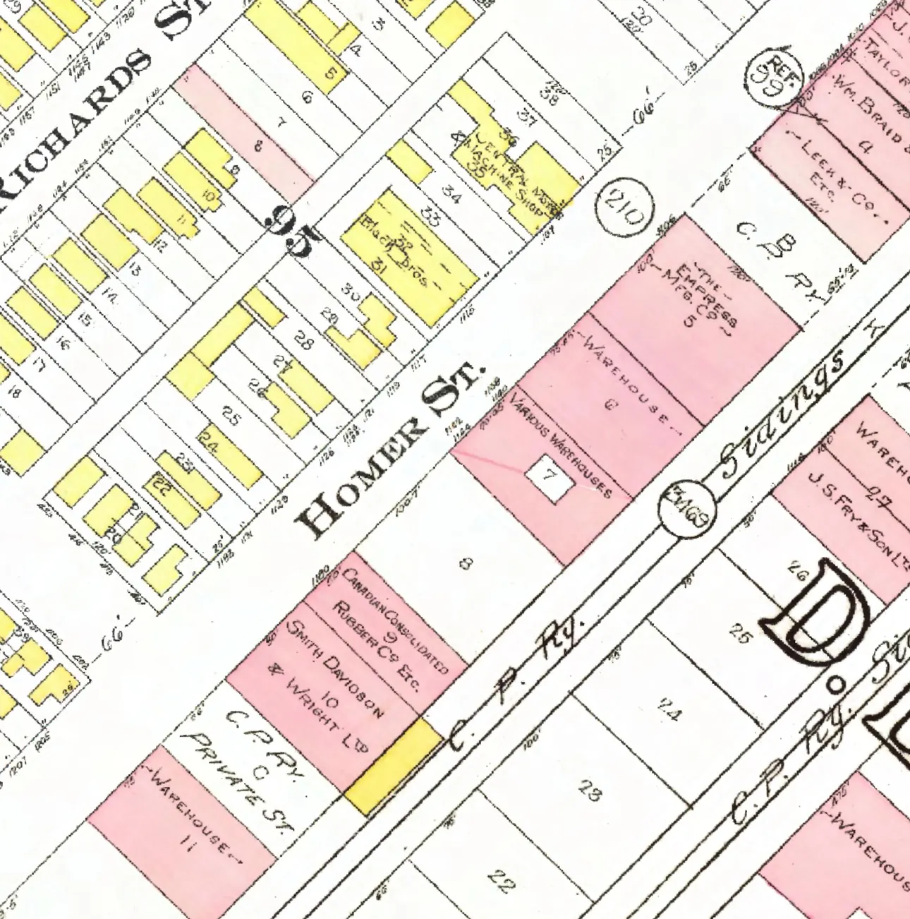
Between Helmcken and Davie Streets. 20 addresses in the 1940 directory; none of them still has its pre-1946 building. Tap a line to open its house.
Homer Street, the 1100 blockas the 1940 directory lists it, door by door, and what stands there today
West side, odd numbers
East side, even numbers
The 1200 block
Between Davie and Drake Streets. 17 addresses in the 1940 directory; four still have their pre-1946 buildings. Tap a line to open its house.
Homer Street, the 1200 blockas the 1940 directory lists it, door by door, and what stands there today
West side, odd numbers