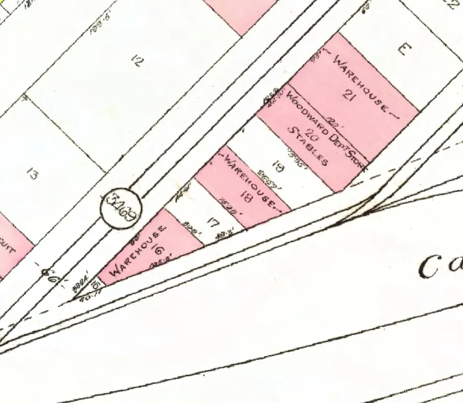
142 addresses on eight blocks of Hamilton Street in Downtown, as the 1940 city directory lists them, with everyone its name section puts at each and what stands there today.
The 400 block
Five addresses in the 1940 directory; none of them still has its pre-1946 building. Tap a line to open its house.
Hamilton Street, the 400 blockas the 1940 directory lists it, door by door, and what stands there today
West side, odd numbers
East side, even numbers
No east-side addresses in the 1940 directory.
The 500 block
Between West Pender and Dunsmuir Streets. 14 addresses in the 1940 directory; two still have their pre-1946 buildings. Tap a line to open its house.
Hamilton Street, the 500 blockas the 1940 directory lists it, door by door, and what stands there today
*: some member of the family owns the property, to the best of our knowledge (the directory's own mark, printed from 1935)
West side, odd numbers
East side, even numbers
The 600 block
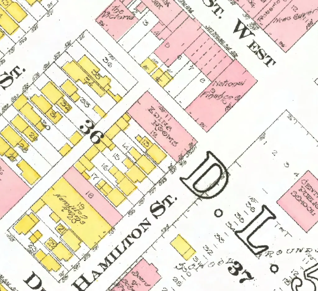
The 600 and 700 blocks lie together between Dunsmuir and Robson Streets. 30 addresses in the 1940 directory; none of them still has its pre-1946 building. Tap a line to open its house.
Hamilton Street, the 600 blockas the 1940 directory lists it, door by door, and what stands there today
West side, odd numbers
- 601Angus Rooms +1gone
- 605Russell J +1gone
- 607Beynon J Agone
- 609Davies Rgone
- 611vacantgone
- 613Jarvis Wgone
- 615Anderson P Cgone
- 617Dudra Jgone
- 619Day Mrs B Bgone
- 621Correll F +1gone
- 623*Esplin Mrs Kgone
- 625Cox R +3gone
- 667Leith Mrs G Lgone
- 675*Murray Miss Egone
- 677Graham Wgone
- 683Gawler Mrs A Lgone
- 689Canada Nut Cogone
- 693Yick Leegone
- 699Hamilton Grogone
The 700 block
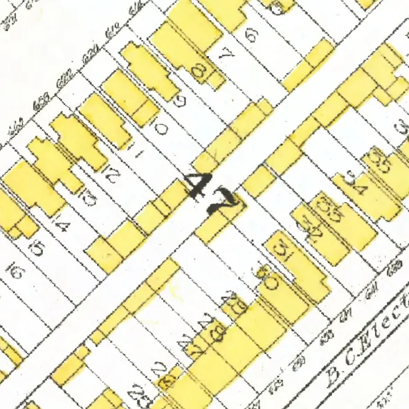
The 600 and 700 blocks lie together between Dunsmuir and Robson Streets. 33 addresses in the 1940 directory; none of them still has its pre-1946 building. Tap a line to open its house.
Hamilton Street, the 700 blockas the 1940 directory lists it, door by door, and what stands there today
West side, odd numbers
East side, even numbers
- 710McMurtrie Ngone
- 716Doerksen Mrs Mgone
- 718Melics Jgone
- 720McMurtrie Miss Lgone
- 722*Lachan Mrs M +1gone
- 726Murphy Mrs A M +3gone
- 738Jensen Wgone
- 746McLean C Egone
- 748Remier W +1gone
- 750Nicholson Dgone
- 754Engblom R Jgone
- 762Soderoos Egone
- 764Welch L A +1gone
- 766MacLeod M +1gone
- 768Soderblom Agone
- 770Fawcett F Agone
- 776Fraser Mrs Vgone
- 782*Russell W Ggone
- 786*Stover R C +1gone
- 790Hewlett J Rgone
The 800 block
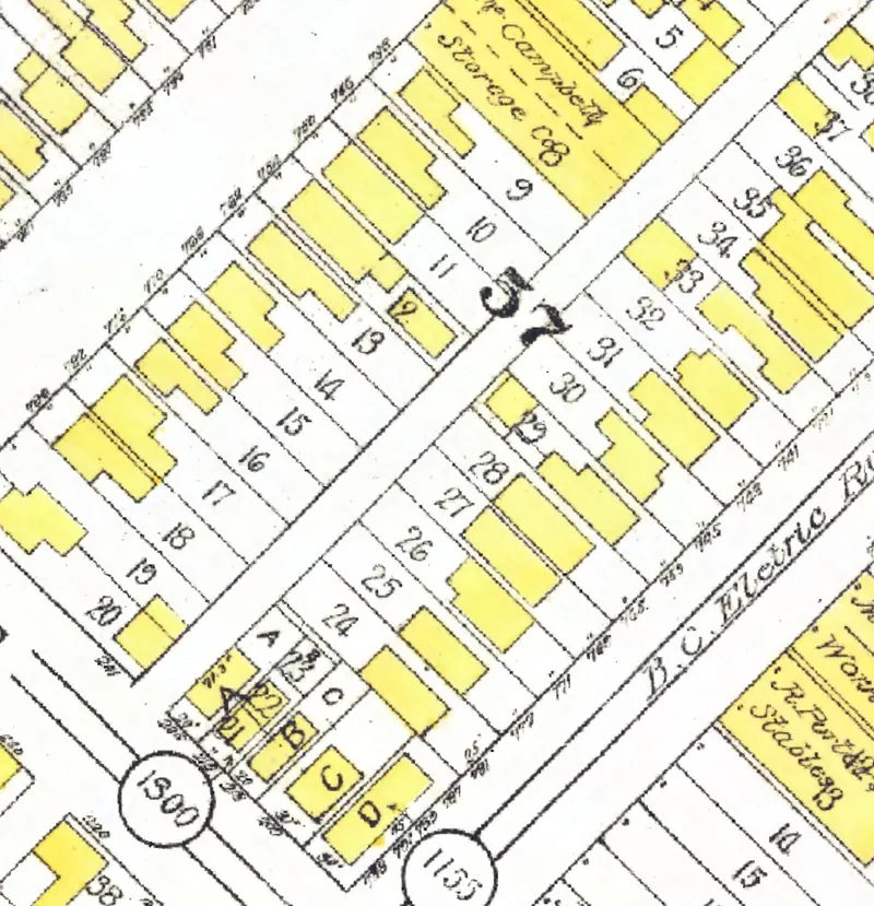
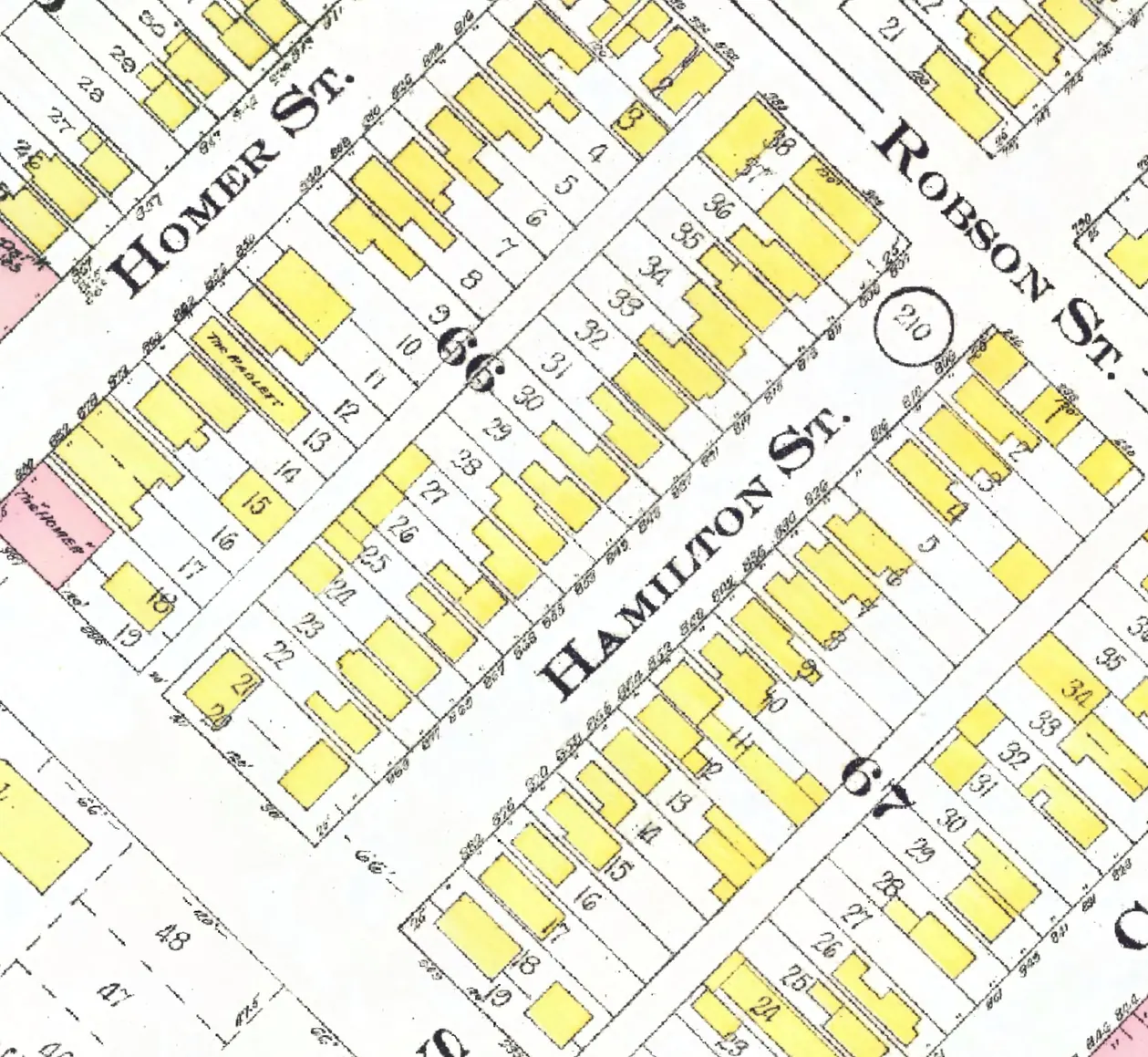
Between Robson and Smithe Streets. 30 addresses in the 1940 directory; one still has its pre-1946 building. Tap a line to open its house.
Hamilton Street, the 800 blockas the 1940 directory lists it, door by door, and what stands there today
West side, odd numbers
The 1000 block
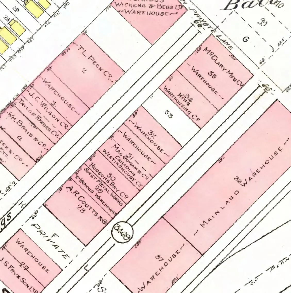
Between Nelson and Helmcken Streets. Twelve addresses in the 1940 directory; two still have their pre-1946 buildings. Tap a line to open its house.
Hamilton Street, the 1000 blockas the 1940 directory lists it, door by door, and what stands there today
West side, odd numbers
No west-side addresses in the 1940 directory.
East side, even numbers
- 1004Goodyear Tire & Rubbergone
- 1030Crawford Stge +2gone
- 1038Pease Van & Storage +1gone
- 1040Pacific Brewers Agts +3stands
- 1056BC Janitor Supp +2gone
- 1058O'Loane J Co +2gone
- 1060Sterling F W +1gone
- 1062Edmondson G Lgone
- 1070Braid's Ltd +2gone
- 1074McColl A O & Co +1gone
- 1080Forsyth A J & Co +1gone
- 1090Mainland Conf Co +1stands
The 1100 block
Between Helmcken and Davie Streets. Eleven addresses in the 1940 directory; six still have their pre-1946 buildings. Tap a line to open its house.
Hamilton Street, the 1100 blockas the 1940 directory lists it, door by door, and what stands there today
West side, odd numbers
No west-side addresses in the 1940 directory.
The 1200 block
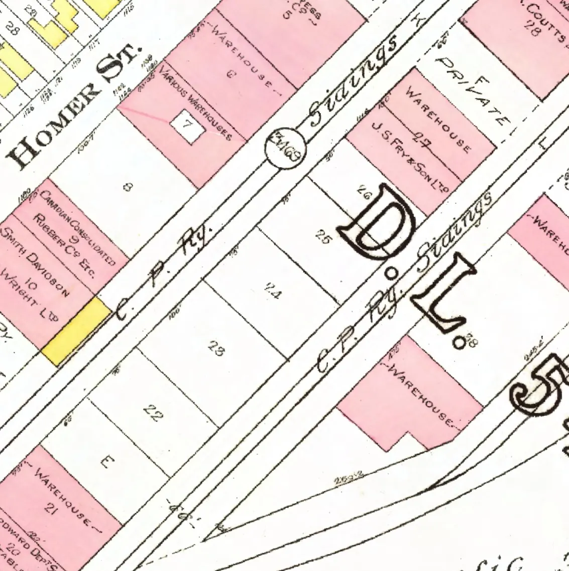
Between Davie and Drake Streets. Seven addresses in the 1940 directory; two still have their pre-1946 buildings. Tap a line to open its house.
Hamilton Street, the 1200 blockas the 1940 directory lists it, door by door, and what stands there today
West side, odd numbers
No west-side addresses in the 1940 directory.