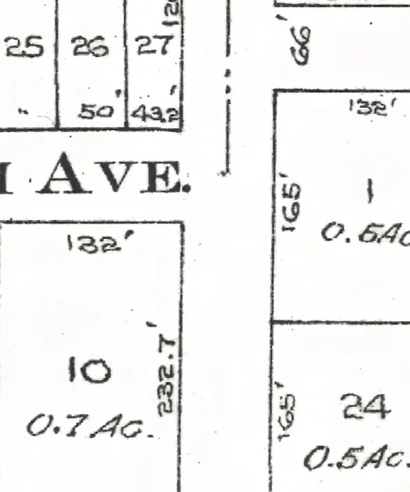
The 6400 block of Dunbar Street in Dunbar-Southlands, door by door, as the 1940 city directory lists it, with what stands at each address today.
The 6400 and 6500 blocks lie together between West 48th and West 50th Avenues. One address in the 1940 directory; it still has its pre-1946 building. Tap a line to open its house.
Dunbar Street, the 6400 blockas the 1940 directory lists it, door by door, and what stands there today
West side, odd numbers
No west-side addresses in the 1940 directory.
East side, even numbers