Vancouver / Dunbar Street / The 6000 block

Dunbar-Southlands, Vancouver

The 6000 block

1 address, in the 1940 city directory

The 6000 block of Dunbar Street in Dunbar-Southlands, door by door, as the 1940 city directory lists it, with what stands at each address today.

← The 5900 block · The 6200 block → · All 45 blocks

Between West 44th Avenue and SW Marine Drive. One address in the 1940 directory; it still has its pre-1946 building. Tap a line to open its house.

Dunbar Street, the 6000 blockas the 1940 directory lists it, door by door, and what stands there today

West side, odd numbers

  1. 6065Rae A C +1stands

East side, even numbers

No east-side addresses in the 1940 directory.
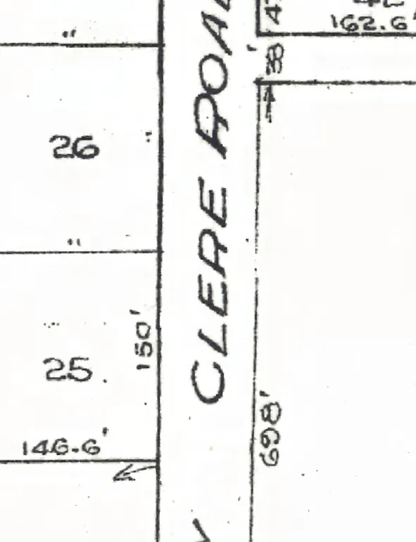
The 6000 block of Dunbar Street on Goad's 1912 fire insurance map
The 6000 block on Goad's fire insurance map, 1912; the map may print the street under an older name (georectified by the City of Vancouver, Open Government Licence – Vancouver).

← The 5900 block · The 6200 block → · All 45 blocks