Strathcona, Vancouver
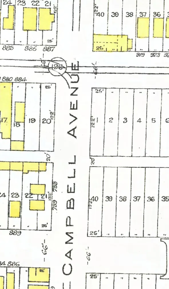
The 700 block
5 addresses, in the 1909, 1910, 1911, 1912, 1913, 1915, 1920, 1925, 1930, 1935, 1940 and 1945 city directories
The 700 block of Campbell Avenue in Strathcona, door by door, as each year we've read lists it (1905–1913, 1915, 1920, 1925, 1930, 1935, 1940 and 1945; pick one below), with what stands at each address today.
Between East Georgia and Union Streets. Five addresses in the 1909, 1910, 1911, 1912, 1913, 1915, 1920, 1925, 1930, 1935, 1940 and 1945 directories; three still have their pre-1946 buildings. Tap a line to open its house.
Campbell Avenue, the 700 blockas the 1913 directory lists it, door by door, and what stands there today
*: some member of the family owns the property, to the best of the directory's knowledge (its own mark, printed from 1935)
The 1905 directory lists no one on this block.
The 1906 directory lists no one on this block.
The 1907 directory lists no one on this block.
The 1908 directory lists no one on this block.
West side, odd numbers
- 701Henderson J WAtkins J +1vacant +1vacant +1McKinney Mrs A +1Stoppard G W +3stands
- 725Clack Hgone
- 733Tourgrs Benjamin GTourgrs Benjamin GTourgis Benjamin GTourgis Benj GTourgis Benj GAnderson EdwHare GeoGill JRundquist ILall FLall F*Plese Ngone
- 739Leveque ClementineO'Loughlin John VO'Loughlin John VO'Loughlin John VShed JamesMercer Mrs IsabellaAllan Mrs —Taylor AHerbrensen IVarila MSogslaamp A*Borsato Pstands
East side, even numbers
Since 1945
- 1961The City's Redevelopment Project 1 (area A-1.1) puts the east side of the block inside a clearance area, and the City's later maps show the old lots gone. (inferred) Its status map marks one building on the block as demolished. (LEG1350.02, undated, about 1961)
- 1961The City's Redevelopment Project 1 (area A-1.1) marks 710 Campbell Avenue as excluded from the project. (inferred) (LEG1350.02, undated, about 1961)
- 1968The west side of the block is inside the boundary of the City's Urban Renewal Scheme 3 (Strathcona I). The boundary alone doesn't say which blocks were to be cleared. (LEG37.28, dated Aug. 1968)
The urban-renewal plans: City of Vancouver Archives, each record linked on its line; the plans and maps are under the City's copyright, so we tell what they show and don't reproduce them.