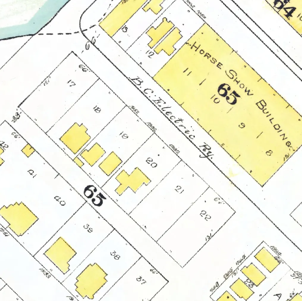
122 addresses on ten blocks of Alberni Street in West End, as the 1940 city directory lists them, with everyone its name section puts at each and what stands there today.
The 1000 block
Between Burrard and Thurlow Streets. 13 addresses in the 1940 directory; none of them still has its pre-1946 building. Tap a line to open its house.
Alberni Street, the 1000 blockas the 1940 directory lists it, door by door, and what stands there today
*: some member of the family owns the property, to the best of our knowledge (the directory's own mark, printed from 1935)
East side, odd numbers
No east-side addresses in the 1940 directory.
West side, even numbers
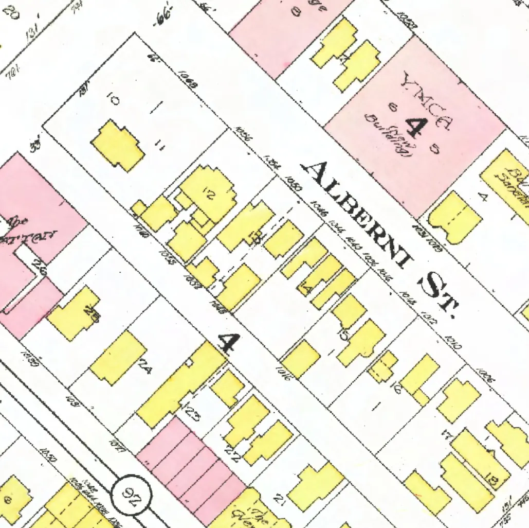
The 1100 block
Between Thurlow and Bute Streets. 13 addresses in the 1940 directory; none of them still has its pre-1946 building. Tap a line to open its house.
Alberni Street, the 1100 blockas the 1940 directory lists it, door by door, and what stands there today
East side, odd numbers
No east-side addresses in the 1940 directory.
West side, even numbers
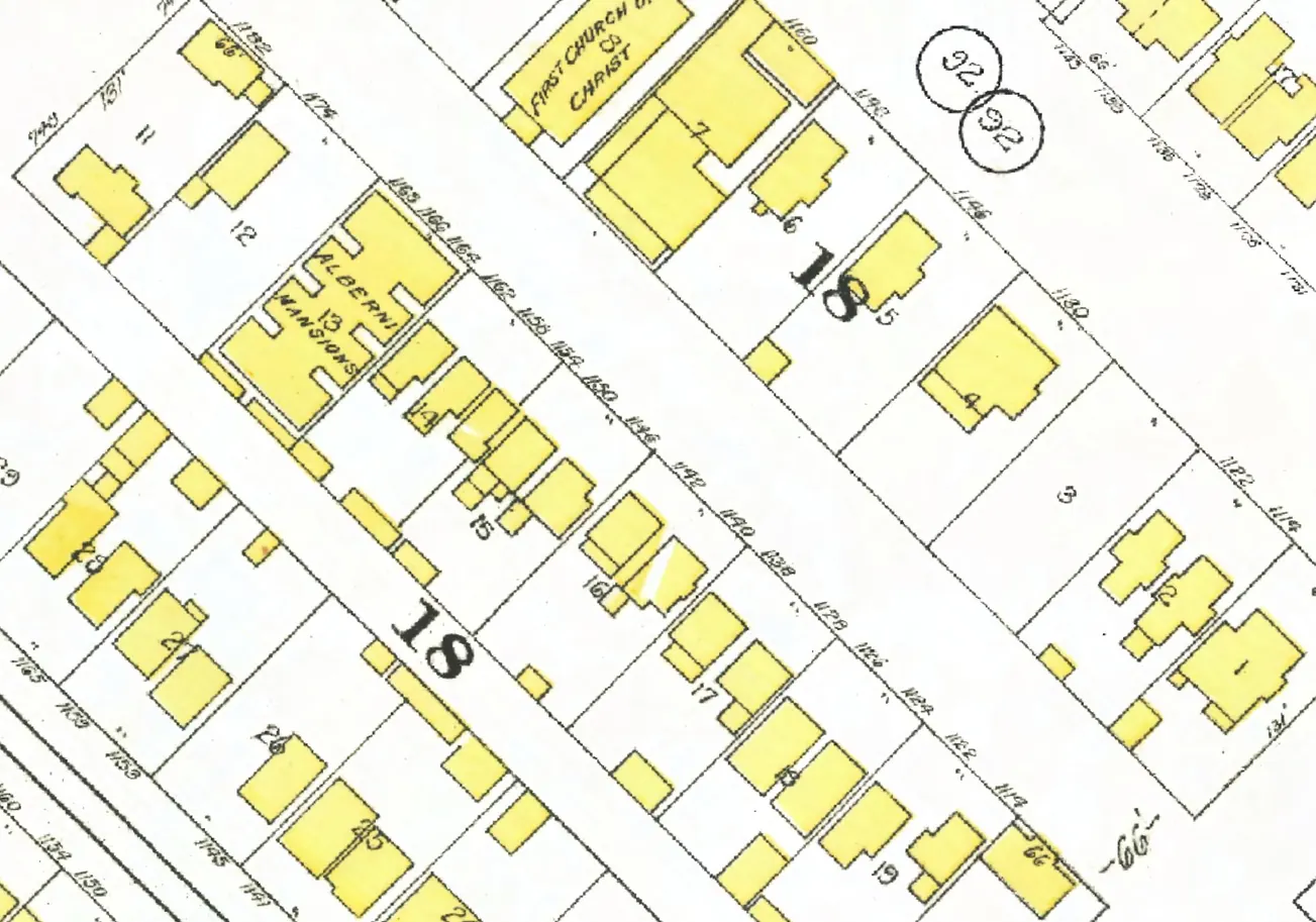
The 1200 block
Between Bute and Jervis Streets. 19 addresses in the 1940 directory; none of them still has its pre-1946 building. Tap a line to open its house.
Alberni Street, the 1200 blockas the 1940 directory lists it, door by door, and what stands there today
East side, odd numbers
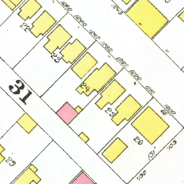
The 1300 block
Between Jervis and Broughton Streets. 16 addresses in the 1940 directory; none of them still has its pre-1946 building. Tap a line to open its house.
Alberni Street, the 1300 blockas the 1940 directory lists it, door by door, and what stands there today
East side, odd numbers
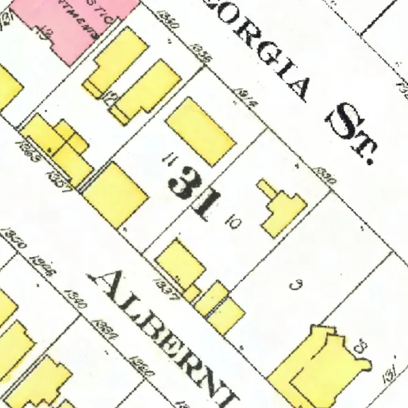
The 1400 block
Between Broughton and Nicola Streets. Five addresses in the 1940 directory; none of them still has its pre-1946 building. Tap a line to open its house.
Alberni Street, the 1400 blockas the 1940 directory lists it, door by door, and what stands there today
East side, odd numbers
No east-side addresses in the 1940 directory.
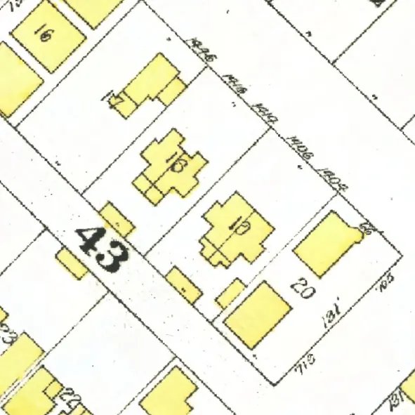
The 1500 block
Between Nicola and Cardero Streets. Five addresses in the 1940 directory; none of them still has its pre-1946 building. Tap a line to open its house.
Alberni Street, the 1500 blockas the 1940 directory lists it, door by door, and what stands there today
East side, odd numbers
West side, even numbers
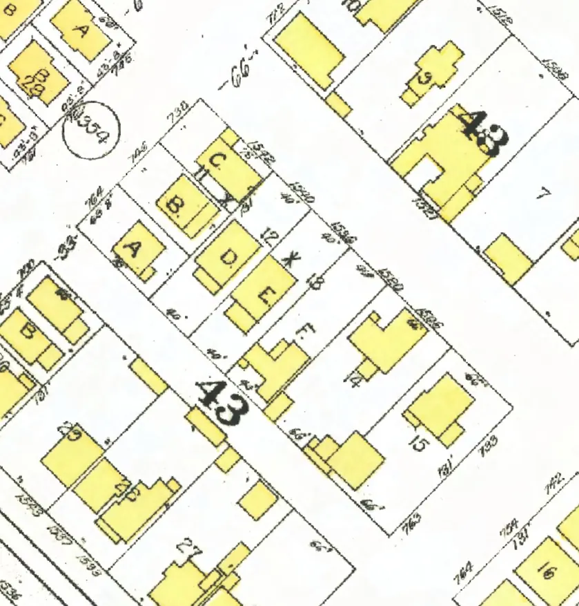
The 1600 block
Between Cardero and Bidwell Streets. 17 addresses in the 1940 directory; one still has its pre-1946 building. Tap a line to open its house.
Alberni Street, the 1600 blockas the 1940 directory lists it, door by door, and what stands there today
East side, odd numbers
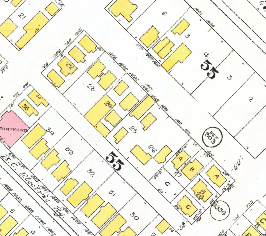
The 1700 block
Between Bidwell and Denman Streets. Eleven addresses in the 1940 directory; none of them still has its pre-1946 building. Tap a line to open its house.
Alberni Street, the 1700 blockas the 1940 directory lists it, door by door, and what stands there today
East side, odd numbers
No east-side addresses in the 1940 directory.
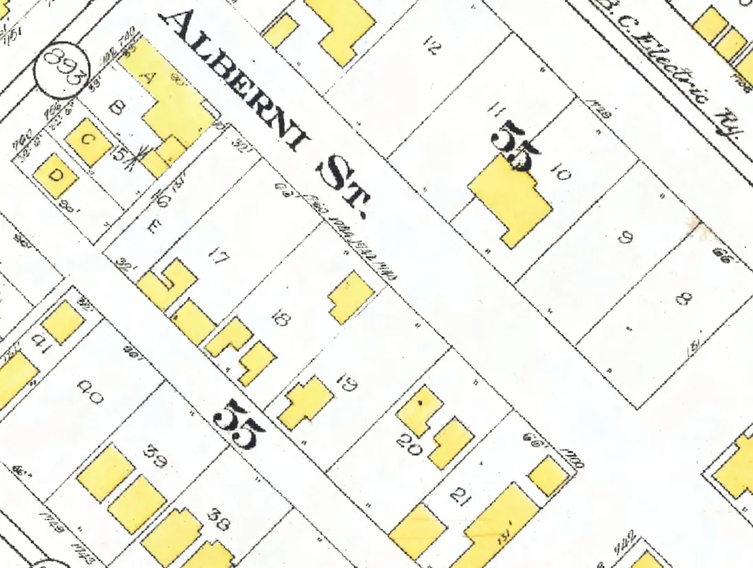
The 1800 block
Between Denman and Gilford Streets. 19 addresses in the 1940 directory; none of them still has its pre-1946 building. Tap a line to open its house.
Alberni Street, the 1800 blockas the 1940 directory lists it, door by door, and what stands there today
East side, odd numbers
West side, even numbers
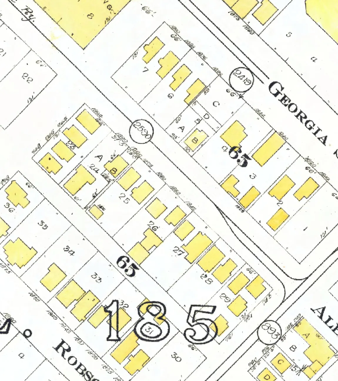
The 1900 block
Between Gilford and Chilco Streets. Four addresses in the 1940 directory; none of them still has its pre-1946 building. Tap a line to open its house.
Alberni Street, the 1900 blockas the 1940 directory lists it, door by door, and what stands there today
East side, odd numbers
No east-side addresses in the 1940 directory.
West side, even numbers