Hastings-Sunrise, Vancouver
2692 Adanac Street
In the 1930, 1935, 1940 and 1945 city directories, of the 16 we've read for Adanac Street.
From 1930 to 1940, W G Barber lived here. The 1940 name section gives the name as William G Barber, a scavenger at the City of Vancouver. W Sever is listed at 2692 Adanac Street in 1945; as far as the directory knew, a member of the family owned it.
Open this house's bookIts history laid out as a book, chapter by chapter, each line with its page, to read here or save as a PDF to print or give.
The 1930 directory prints this house as 2692 Union Street: nearly every number it gives there sits on today's Adanac Street, so we take them for one street (inferred).
- 1
- person the 1945 directory lists here
- 1930–1940
- the Barber name here, in three of the 16 years we've read
- *
- some member of the family owns the property, to the best of the directory's knowledge, in 1935, 1940 and 1945
- Rebuilt in 1984
- today, by the City's records
In 1920
The 1920 directory lists Adanac Street but not 2692.
Adanac Street is read from the 1920 directory, street by street and by name, line by line. The 1920 directory prints it as part of Union Street; nearly every number it gives there sits on today's Adanac Street, so we take them for one street (inferred).
The house today
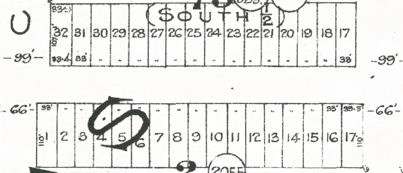
Goad's 1912 map draws no building on the lot at 2692, and the building the 1945 directory knew is gone too: the City dates the one there now to 1984; the nearest that still stands is 2679, on the other side of the street, one of eleven on the block. A permit to build a house was taken out in October 1926 by J Wentela, owner and builder: $2,000.
Since 1945
- 1984Today's building goes up, by the City's record.
From City of Vancouver open data (Open Government Licence – Vancouver): the property tax report (BC Assessment's years, approximate for old buildings), business licences from 1997 (the kind of business only), issued building permits from 2017 and the heritage register.
To go further on when it was built and by whom: search the City's permit registers for 2692 in Heritage Vancouver's transcription, 1901–1930, and ask the City of Vancouver Archives for its water service records, since a house usually applied for water as it was finished. Our guide has the steps.
The 2600 block, year by year
Adanac Street between Penticton and Slocan Streets, Hastings-Sunrise: every door each year we've read lists on the block, the way it prints them, and what stands at each today. This house is marked in red. Pick a year to read who lived at every door.
Adanac Street, the 2600 blockas the 1920 directory lists it, door by door, and what stands there today
*: some member of the family owns the property, to the best of the directory's knowledge (its own mark, printed from 1935)
The 1905 directory lists no one on this block.
The 1906 directory lists no one on this block.
The 1907 directory lists no one on this block.
The 1908 directory lists no one on this block.
The 1909 directory lists no one on this block.
The 1910 directory lists no one on this block.
The 1911 directory lists no one on this block.
The 1912 directory lists no one on this block.
The 1913 directory lists no one on this block.
North side, odd numbers
- 2603Gemmell W*Gemmell WOlsen M M*McLeod Mrs Rstands
- 2613Isles TAllard R P BLumsden W*Hodgins G L*Hodgins G Lrebuilt
- 2625Anderson TAnderson T*Anderson T*Berts G*Berts Gstands
- 2631*Osborne G Crebuilt
- 2643Fraser JFraser J*Fraser J*Fraser J*Fraser Jrebuilt
- 2647*Johnstone G*Johnstone Gstands
- 2653Springer HSpringer H*Springer H*Springer H*Springer Hstands
- 2665Tudge G C*Tudge G C*Tudge G C*Tudge G Cstands
- 2671occupied, no name givenManicelli J*Mancinelli J*Mancinelli J*Mancinelli Gstands
- 2679Dumphy B ACorbett J Rvacant*Dorozio P*Dorozio Pstands
- 2693Baker C ABaker C*Baker C*Baker C*Kennelly T Crebuilt
South side, even numbers
- 2602Anderson ARobinson W*Robinson W*Robinson W*Robinson Wrebuilt
- 2608Harriman R N*Harriman R NLang A*Aleksich Frebuilt
- 2612Dawson John GLatham HoraceScott —Escott Hvacant*Scott W*Eastcott Hrebuilt
- 2628Boyce R*Lindahl N S*Lindahl N S*Lindahl N Sstands
- 2640*Rozenek JJohnson JMacDonald W Astands
- 2644Wentela J*Hall F G*Thomas Mrs M*Thomas Mrs Mgone
- 2650Winbow A*Winbow A H*Winbow A H*Wheeler W Dstands
- 2670Newton W J*Newton W J*Westall Mrs MMitchell E Fstands
- 2680*Genoe H Jvacant*Skidmore H Brebuilt
- 2686Peterson B*Harrison A*Farrario P*Ferrario Prebuilt
- 2692Barber W G*Barber W G*Barber W G*Sever Wrebuilt
- 2696Rosen M B*Rosen M B*Rosen M B*Rosen M Brebuilt
- 0of 1
- 0of 1
- 4of 8
- 13of 17
- 10of 18
- 13of 21
Quote this house
One line with its source, for a listing, a talk or a family tree. A link to this page shows the card below wherever it's shared.
2692 Adanac Street, Hastings-Sunrise, Vancouver, is in the 1930, 1935, 1940 and 1945 city directories; the Barber name is listed there from 1930 to 1940. The building there today dates from 1984, by the City's record.
Source: AddressLore, addresslore.com/house/2692-adanac, from Vancouver's city directories (Vancouver Public Library) and City of Vancouver open data.
The book of 2692 Adanac Street
This address as a book
Everything this page holds about 2692 Adanac Street, gathered into one book with the page behind every line, to read here or save as a PDF to print or give. As we read more directory years for this street, the book grows with them.
Sources
The city directories of 1905 (Henderson's City of Vancouver Directory), 1906 (Henderson's City of Vancouver Directory), 1907 (Henderson's City of Vancouver Directory), 1908 (Henderson's City of Vancouver Directory), 1909 (Henderson's City of Vancouver Directory), 1910 (Henderson's City of Vancouver and North Vancouver Directory Part 1), 1911 (Henderson's Greater Vancouver New Westminster and Fraser Valley Directory), 1912 (Henderson's Greater Vancouver Directory Part 1), 1913 (Henderson's Greater Vancouver City Directory Part 1), 1915 (Henderson's Greater Vancouver City Directory), 1920 (Henderson's Vancouver Directory), 1925 (Wrigley-Henderson Amalgamated British Columbia Directory), 1930 (Wrigley's British Columbia Directory), 1935 (British Columbia and Yukon Directory), 1940 (British Columbia and Yukon Directory) and 1945 (British Columbia and Yukon Directory), street and name sections where both are read, read line by line and checked against the scan (Vancouver Public Library, BC City Directories and UBC Library Open Collections, BC Historical Books); each line above links its page. Today's buildings: City of Vancouver Open Data (property tax report 2026, property addresses, Vancouver Heritage Register; Open Government Licence – Vancouver). The City's year built is BC Assessment's figure and can be approximate for old houses. The 1912 plate: Goad's Fire Insurance Map, georectified by the City of Vancouver. Building permit: Heritage Vancouver Society's transcription of the City's permit registers, 1901–1930 (Historical Vancouver Building Permits; search it for this address). Something wrong, or a name you'd like removed? Tell us.