Renfrew-Collingwood and Killarney
Killarney Street
55 addresses, in the 1920, 1930 and 1940 city directories
Who lived at each door of Killarney Street: everyone the name sections put there, and what stands there today. The 1940 directory prints it as Carleton Street; its numbers run along today's Killarney Street, so we take them for one street (inferred).
The 4700 block
The 4700 and 4800 blocks lie together between Vanness and Euclid Avenues. Seven addresses in the 1940 directory; one still has its pre-1946 building. Tap a line to open its house.
Killarney Street, the 4700 blockas the 1940 directory lists it, door by door, and what stands there today
*: some member of the family owns the property, to the best of the directory's knowledge (its own mark, printed from 1935)
The 1920 name section gives no householder on this block.
The 1930 name section gives no householder on this block.
West side, odd numbers
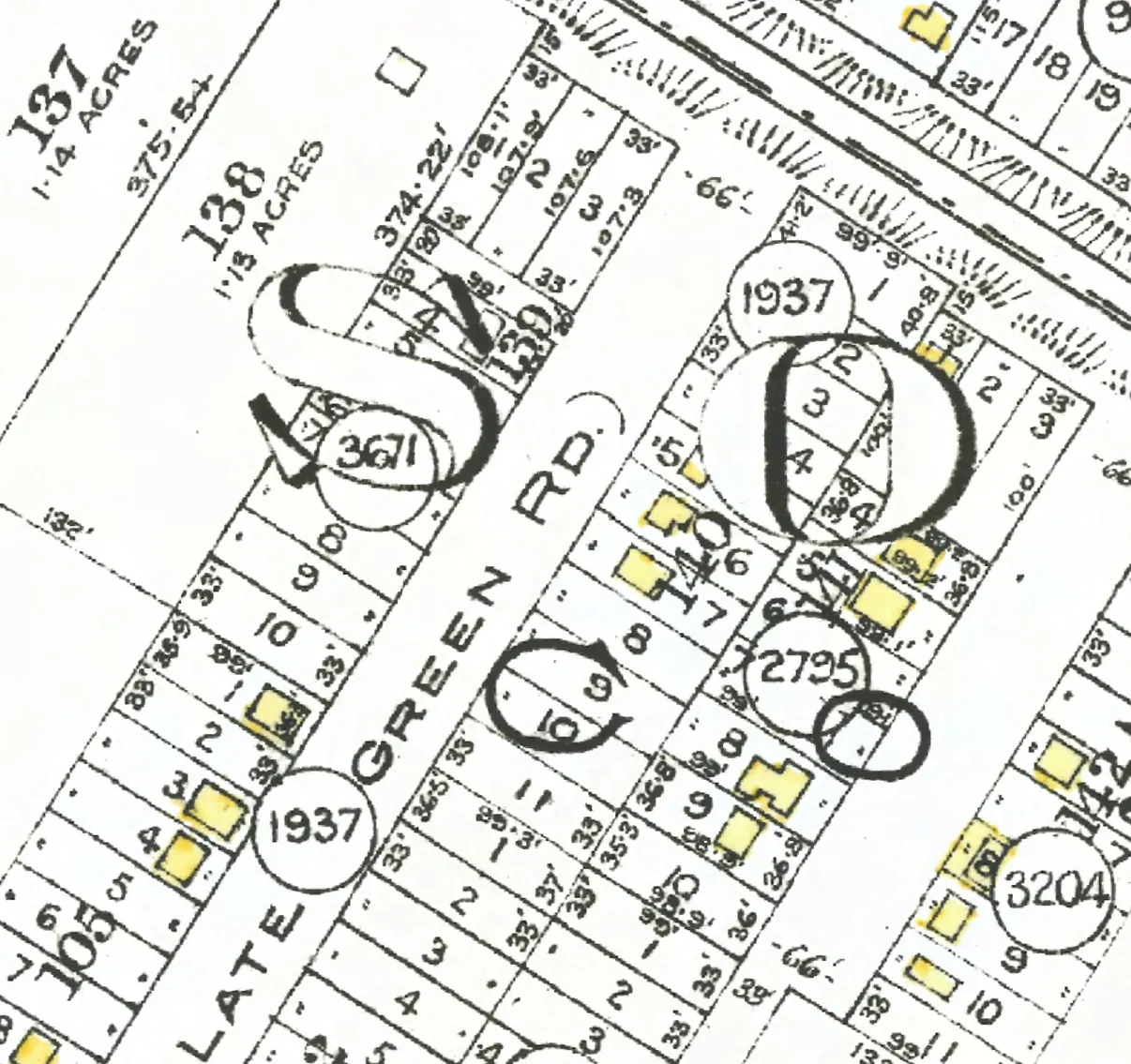
The 4800 block
The 4700 and 4800 blocks lie together between Vanness and Euclid Avenues. Ten addresses in the 1940 directory; two still have their pre-1946 buildings. Tap a line to open its house.
Killarney Street, the 4800 blockas the 1940 directory lists it, door by door, and what stands there today
The 1920 name section gives no householder on this block.
The 1930 name section gives no householder on this block.
West side, odd numbers
East side, even numbers
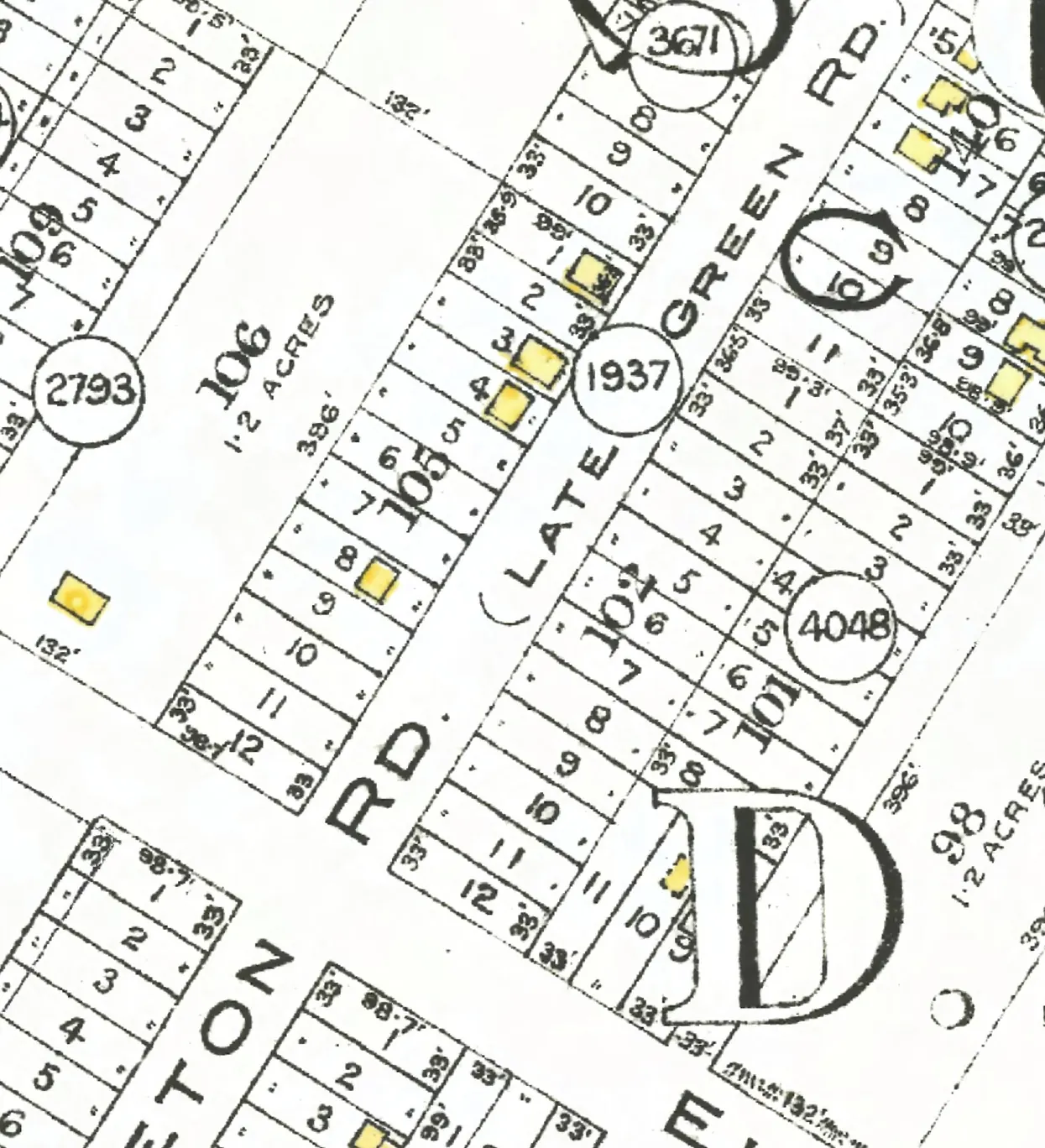
The 4900 block
The 4900 and 5000 blocks lie together between Euclid Avenue and Horley Street. Three addresses in the 1940 directory; two still have their pre-1946 buildings. Tap a line to open its house.
Killarney Street, the 4900 blockas the 1940 directory lists it, door by door, and what stands there today
The 1920 name section gives no householder on this block.
The 1930 name section gives no householder on this block.
West side, odd numbers
No west-side addresses in the 1920 and 1930 and 1940 directories.
East side, even numbers
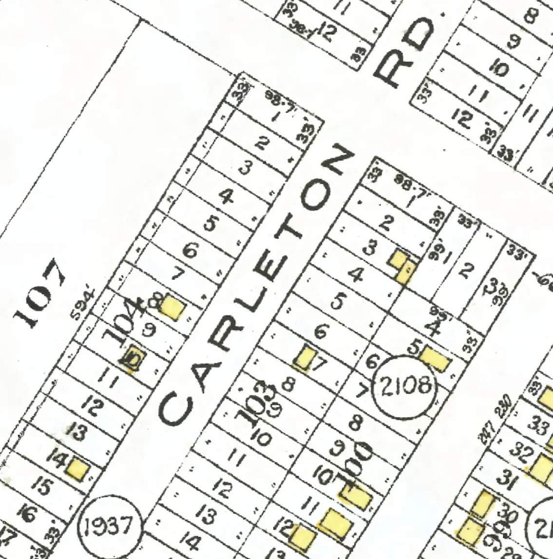
The 5000 block
The 4900 and 5000 blocks lie together between Euclid Avenue and Horley Street. Four addresses in the 1940 directory; one still has its pre-1946 building. Tap a line to open its house.
Killarney Street, the 5000 blockas the 1940 directory lists it, door by door, and what stands there today
The 1920 name section gives no householder on this block.
The 1930 name section gives no householder on this block.
West side, odd numbers
East side, even numbers
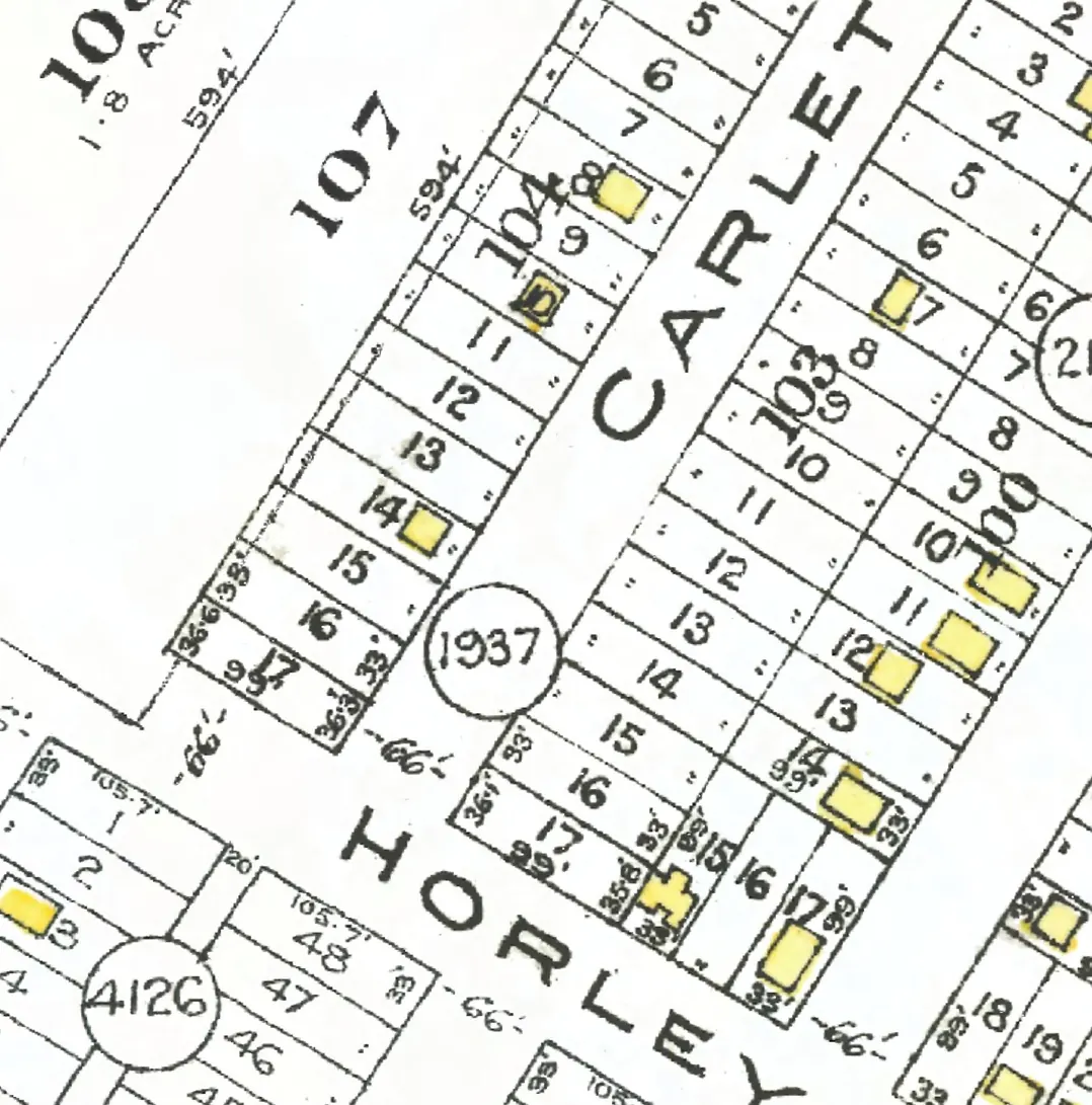
The 5200 block
Between Horley Street and Kingsway. Three addresses in the 1940 directory; one still has its pre-1946 building. Tap a line to open its house.
Killarney Street, the 5200 blockas the 1940 directory lists it, door by door, and what stands there today
The 1920 name section gives no householder on this block.
The 1930 name section gives no householder on this block.
West side, odd numbers
East side, even numbers
No east-side addresses in the 1920 and 1930 and 1940 directories.
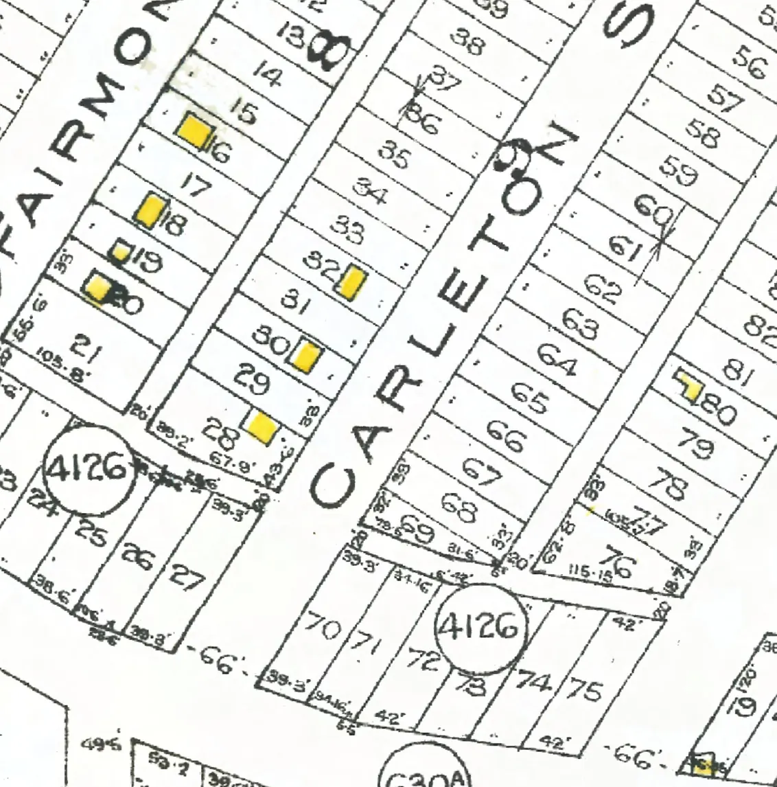
The 5400 block
The 5400 and 5500 blocks lie together between Kingsway and East 40th Avenue. Eight addresses in the 1940 directory; one still has its pre-1946 building. Tap a line to open its house.
Killarney Street, the 5400 blockas the 1940 directory lists it, door by door, and what stands there today
The 1920 name section gives no householder on this block.
The 1930 name section gives no householder on this block.
West side, odd numbers
East side, even numbers
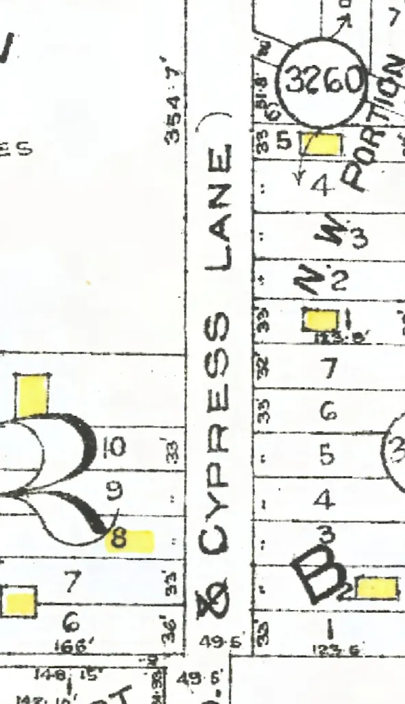
The 5500 block
The 5400 and 5500 blocks lie together between Kingsway and East 40th Avenue. Seven addresses in the 1940 directory; one still has its pre-1946 building. Tap a line to open its house.
Killarney Street, the 5500 blockas the 1940 directory lists it, door by door, and what stands there today
The 1920 name section gives no householder on this block.
The 1930 name section gives no householder on this block.
West side, odd numbers
East side, even numbers
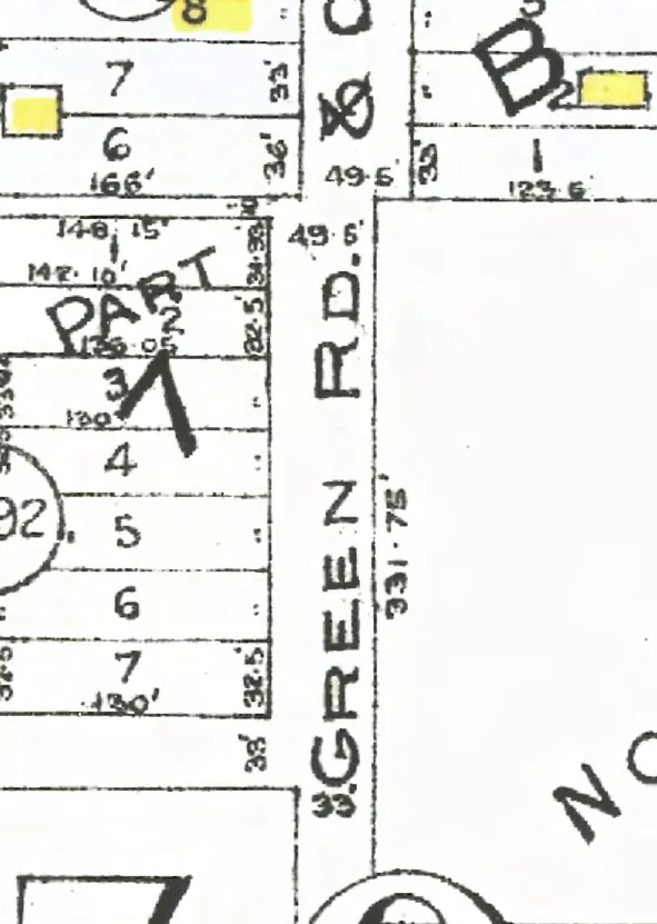
The 5600 block
Between East 40th and East 41st Avenues. Five addresses in the 1940 directory; one still has its pre-1946 building. Tap a line to open its house.
Killarney Street, the 5600 blockas the 1940 directory lists it, door by door, and what stands there today
The 1920 name section gives no householder on this block.
The 1930 name section gives no householder on this block.
West side, odd numbers
East side, even numbers
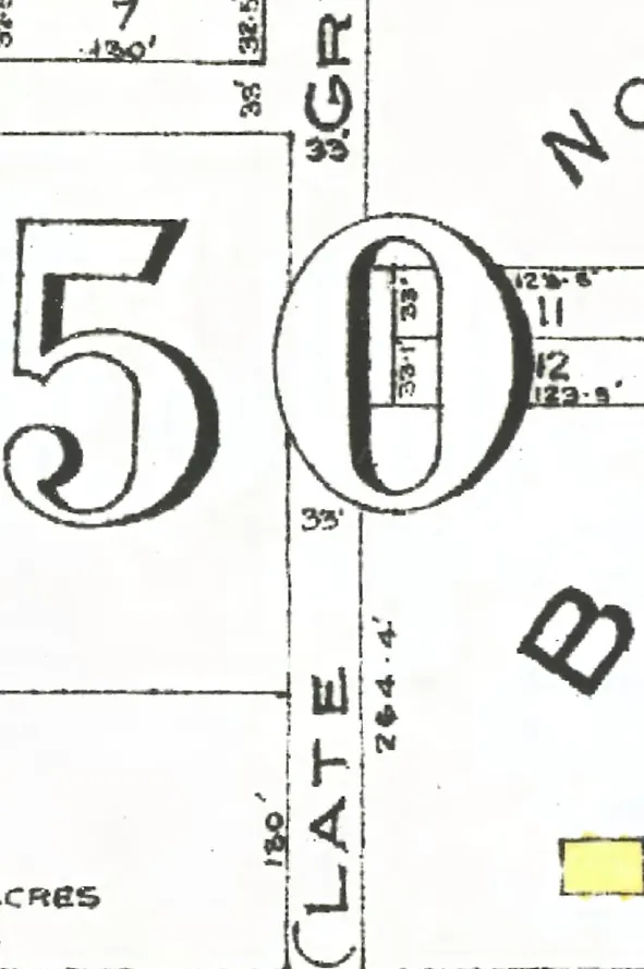
The 5700 block
Between East 41st and East 43rd Avenues. Seven addresses in the 1940 directory; none of them still has its pre-1946 building. Tap a line to open its house.
Killarney Street, the 5700 blockas the 1940 directory lists it, door by door, and what stands there today
The 1920 name section gives no householder on this block.
The 1930 name section gives no householder on this block.
West side, odd numbers
East side, even numbers
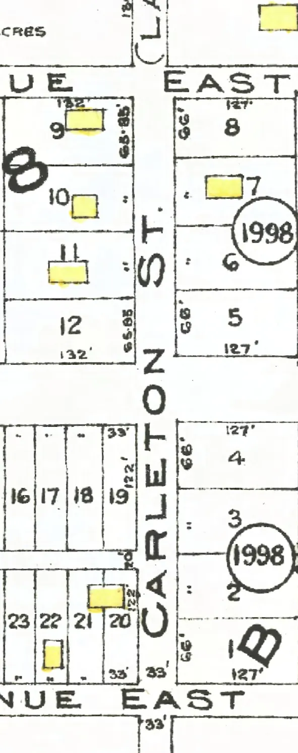
The 5800 block
Between East 43rd and East 44th Avenues. One address in the 1940 directory; its pre-1946 building is no longer standing. Tap a line to open its house.
Killarney Street, the 5800 blockas the 1940 directory lists it, door by door, and what stands there today
The 1920 name section gives no householder on this block.
The 1930 name section gives no householder on this block.
West side, odd numbers
East side, even numbers
No east-side addresses in the 1920 and 1930 and 1940 directories.
Killarney Street in photographs
The City of Vancouver Archives holds no photo of Killarney Street that we can show: we use only photos in the public domain or under the City's own copyright.